
What is recorded here
Situated in pasture at the bottom of the valley of a NW-SE stream, with the stream c. 10m to the W. This is a natural spring covered in briars. There is no evidence of veneration or information on the associations of the well, but a stile to a roadway at N indicates useage at one time. Fews church (WA015-022001-) is c. 250m to the NW.
Compiled by: Michael Moore.
Date of upload: 10th December, 2010.
The monument record does not grant public access. Check the route and ask the landowner before entering private land.
- What survives
- Recorded monument
Places near here
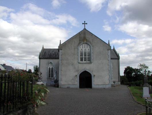 Saint Anne's Catholic ChurchOfficially recorded historic building · 155 yd
 Embanked enclosureFairy fort / earthen ringfort · 1605 yd
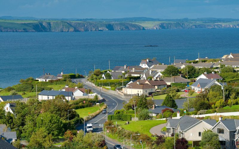 IndicatedFairy fort / ringfort · 1633 yd
 Castle (in ruins)Castle, unclassified · 1.3 mi
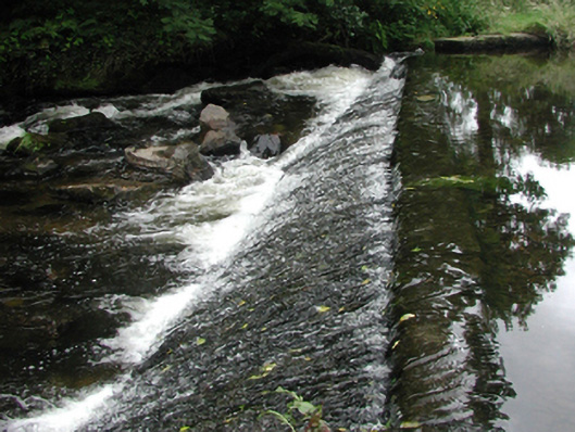 weirweir · 1.4 mi
 Site of Cas.Castle, unclassified · 1.5 mi
 8 Arch GalleryGallery · 1.6 mi
 Croughaun HillMountain / peak · 2.1 mi
 Kilclooney WoodForest · 2.5 mi
 Crough WoodWood · 2.7 mi
 Magic Road (finish)Heritage attraction · 3.3 mi
 LackaduffMountain / peak · 3.8 mi
Other information
Photo: Credit not shown in the picture search · Rights wording not checked; contact us if this picture should be removed