
What is recorded here
On top of a drumlin in pasture. A row of four, widely-spaced, upright stones, aligned NE–SW, measures 14.1m in overall length. The first stone (H 0.6m; Wth 0.27m; T 0.27m), at the NE end of the row, leans to the W. Stones piled around its base are probably field-clearance debris. The second stone (H 0.75; Wth 0.5m; T…
Read the whole record
From the National Monuments Service (Archaeological Survey of Ireland) record LF005-012
Places near here
Photo credits
- National Inventory of Architectural Heritage
- Maker not stated on source page, commons.wikimedia.org
- Maker not stated on source page, nigelborrington.com
- Maker not stated on source page, global-geography.org
- Maker not stated on source page, www.flickr.com
- Maker not stated on source page, uk.pinterest.com
 post box1016 yd
Explorer Tom Post box in Lettergonnell survived a storm it still brags about every time the wind picks up. It wears British and…
 Kilmahon Old CemeteryCemetery · 1.3 mi
Explorer Tom Kilmahon Old Cemetery would absolutely win the county fair for best in show, mostly because nobody else has the nerve…
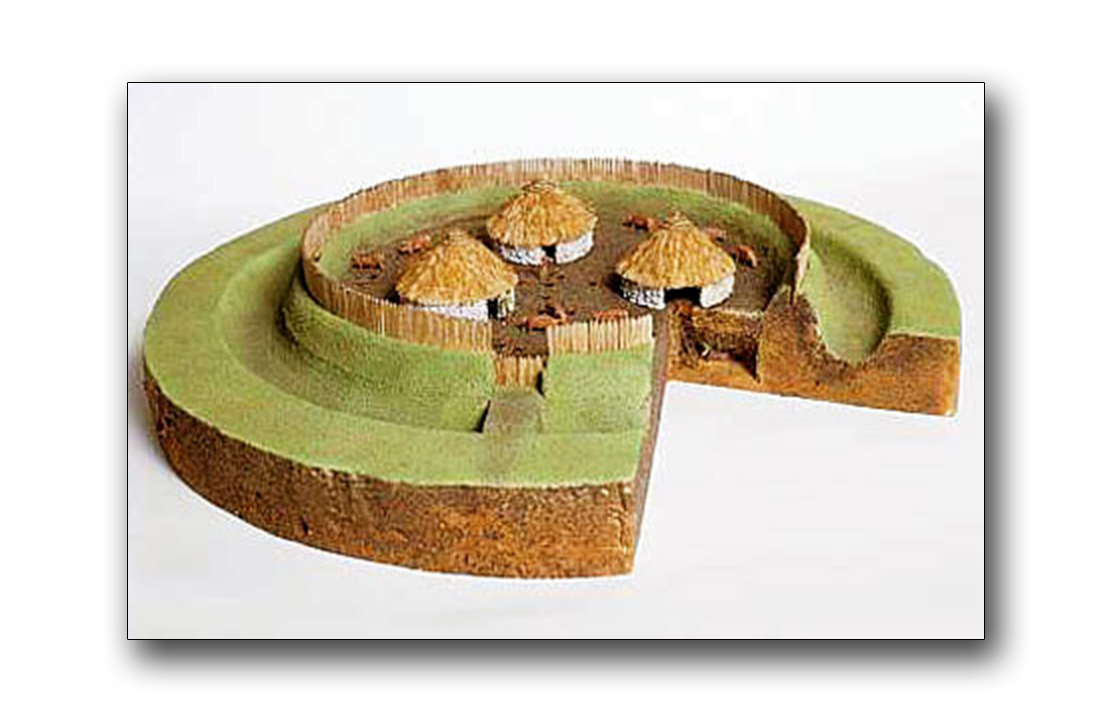 Fairy fort / earthen ringfort in CastlebaunFairy fort / earthen ringfort · 1.3 mi
Explorer Tom Fairy fort / earthen ringfort in Castlebaun was built by someone who really wanted to show off. It overlooks a stream…
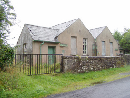 Scoil Náisiúnta na GéigeSchool · 1.5 mi
Explorer Tom Scoil Náisiúnta na Géige has two doors because boys and girls couldn't share a hallway without starting a war. It’s…
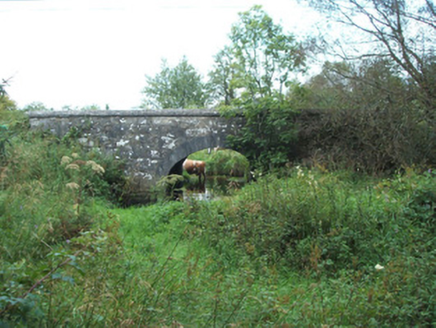 bridge1.7 mi
Explorer Tom Bridge in Gaigue is telling teenagers about the 1800s by saying 'we had no internet, just mud.' It’s a simple arch that…
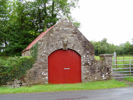 forge/smithy1.7 mi
Explorer Tom Forge or smithy in Gaigue almost became famous when a blacksmith tried to make a horseshoe out of a spoon and missed.…
 CairnCairn, unclassified · 1.9 mi
Explorer Tom Cairn in Corneddan, Dooroc started as a bet two lads made in the pub that they could build a mountain out of nothing.…
 Dillon's BridgeBridge · 2.1 mi
Explorer Tom Dillon's Bridge smells like wet stone and old secrets, according to Tom who has sniffed around it quite a bit. Its…
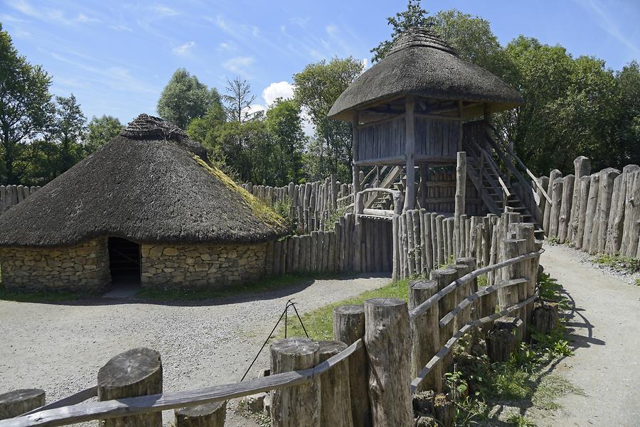 RingFortFort · 2.3 mi
Explorer Tom RingFort was designed by a mother-in-law who wanted to keep the son-in-law out permanently and succeeded brilliantly.…
 Anomalous stone group in CartrongolanAnomalous stone group · 2.5 mi
Explorer Tom Anomalous stone group in Cartrongolan has an unlikely celebrity friend who is just a very lonely leaning sandstone…
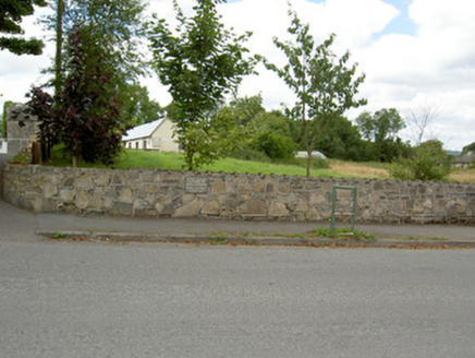 Bully's AcreGraveyard/cemetery, unknown · 3.3 mi
Explorer Tom Bully's Acre in Ballinalee is a graveyard where rabbits think they own the place, but really it holds the rebels from…
 Mapped cemeteryCemetery · 3.5 mi
Explorer Tom Mapped cemetery sounds like it was named by someone who was really bad at geography and gave up halfway through the…
More archaeology and monuments in County Longford · All of County Longford

What do you know about this place?Tap to add a comment or ask a question