What is recorded here
Castlebaun holds a broad oval terrace where a low earth bank and steep natural scarps enclose forty metres of dropped stone and forgotten life. The entrance has vanished beneath soil and time, leaving the fort open to the stream below and the sky above. People may have lived there before roads or written names, watching water move through the valley while the land kept their shape intact.
On a terrace on a S-facing slope overlooking a stream. A raised oval area (40.5m N-S; 32m E-W) enclosed from WSW-W-NNW by a low bank of earth and stone (Wth 4m; H 0.3-0.5m) and by a scarp (H 0.8-1.7m) from NNW-N-NNE, and from SE-S-SW. Elsewhere a natural scarp defines the monument. There is no trace of a fosse. The original entrance is not recognisable.
Compiled by: Patrick F. O'Donovan
Date of upload: 26 August 2011
This remains an important historical record, but the official description says the monument is no longer visible or has been destroyed. The monument record does not grant public access. Check the route and ask the landowner before entering private land.
- What survives
- No visible remains or recorded as destroyed
Places near here
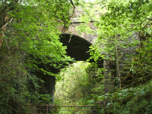 Dillon's Bridgebridge · 1.0 mi
 IndicatedFairy fort / earthen ringfort · 1.2 mi
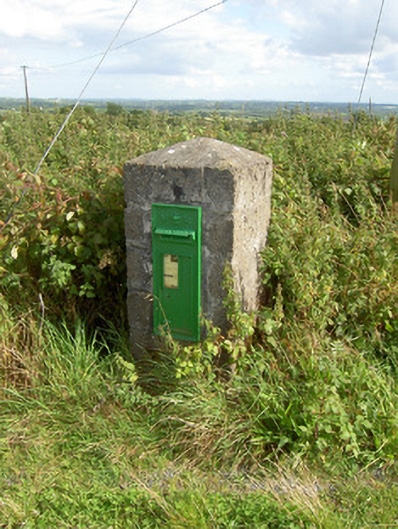 post boxpost box · 1.7 mi
 Enclosure in DrumnaharaEnclosure · 1.9 mi
 Bully's Acregraveyard/cemetery, unknown · 2.1 mi
 Bawn in CurrycahillBawn · 2.3 mi
 Ballinalee Forest WalkForest · 2.5 mi
 Cloonfin WoodForest · 3.3 mi
 Ballinamuck Bog LoopWalking route · 3.6 mi
 BawnBawn · 3.8 mi
 InchmoreIslet · 3.9 mi
 Clonfin Ambush MemorialMemorial · 4.4 mi