What is recorded here
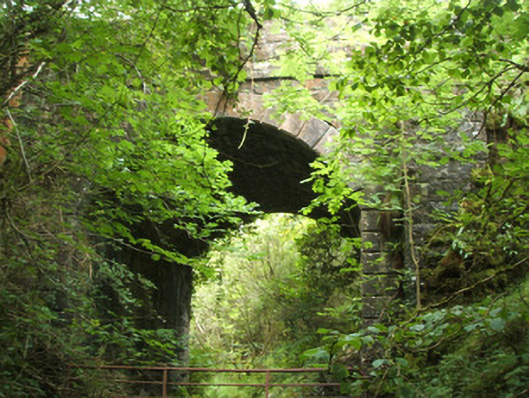
Single-arch road bridge over tributary of the Camlin River, built c. 1860. Segmental-headed arch with dressed limestone block-and-start voussoirs (V-jointed). Squared and dressed limestone rubble construction to barrel and abutments. Block-and-start quoins to corners of abutments. Coursed rock-faced masonry to spandrel walls, projecting battered rock-faced piers to either side of central arch. Rock-faced capstones over piers. Projecting dressed string course at deck/road level, incorporating piers. Coursed rock-faced masonry parapets with rock-faced coping over. Rubble stone wing walls to ends of parapets. Located to the east of Drumlish and to the southeast of Ballinamuck.
This bridge shows evidence of highly skilled craftsmanship in its stonemasonry, particularly in the dressed block-and-start voussoirs and to the coursed rock-faced masonry to the spandrel walls, piers and parapets. The contrast between the dressed limestone voussoirs to the arch and the rock-faced masonry creates an interesting visual effect. This bridge has an unusually high arch, which adds to its engineering and technical merit. Its robust construction suggests that he may have been built by the Board of Works, who built a great many bridges throughout Ireland in the mid-nineteenth century, and particularly between c. 1847 - 60. This appealing structure adds historic interest to its pleasant rural location, and is an integral element of the built heritage of north County Longford. It (probably) replaced an earlier bridge at this site (indicated on 1838 Ordnance Survey first edition six-inch map). The bridge serves as a reminder of the quality of the engineering and local craftsmen's skills in the mid-nineteenth century.
This does not grant access. Most recorded buildings are privately owned; view them only from public ground unless the owner allows entry.
Places near here
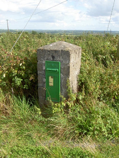 post boxpost box · 1278 yd
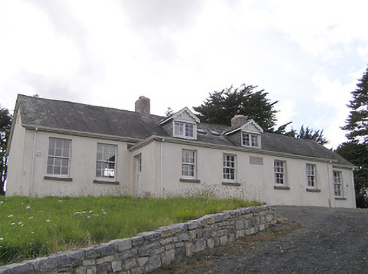 Scoil Náisiúnta Naomh Muireschool · 1521 yd
 IndicatedFairy fort / earthen ringfort · 1.2 mi
 Enclosure in DrumnaharaEnclosure · 1.6 mi
 Bully's Acregraveyard/cemetery, unknown · 2.4 mi
 Cloonfin WoodForest · 2.6 mi
 Bawn in CurrycahillBawn · 2.7 mi
 Ballinalee Forest WalkForest · 2.7 mi
 InchmoreIslet · 2.9 mi
 BawnBawn · 2.9 mi
 Ballinamuck Bog LoopWalking route · 3.8 mi
 Clonfin Ambush MemorialMemorial · 3.8 mi
Other information
Photo: National Inventory of Architectural Heritage · Website use allowed for educational or private purposes with source credit