What is recorded here
Located in pasture, c. 400m N of Lough Currane and W of the Cummeragh river, this site, not marked on the OS maps, commands an extensive view of the lake. The 7.25m long row, orientated NE-SW, is composed of four stones. The stone at NE stands 1.1m high and measures .83m x .47m at base. Irregular in elevation and .93m to SW, the second stone measures 1.47m x 1.16m x .5m. The smallest stone of the row stands .77m further to SW; it is .45m high and measures .48m x .4m at base. The fourth and tallest stone stands at a distance of 1.05m to SW again; it stands 2.5m high and measures 1.93m x .9m at base. Some packing stones are visible around their bases.
The above description is derived from A. O'Sullivan and J. Sheehan (compilers), 'The Iveragh peninsula: an archaeological survey of South Kerry'. Cork University Press (1996), no. 106. In certain instances the entries have been revised and updated in the light of recent research.
Date of upload: 28 July 2013
Likely dating to the Neolithic or early Bronze Age, the stone row may have had ceremonial or ritual significance, possibly aligned with landscape features or astronomical events. Such rows are often associated with funerary or territorial markers in prehistoric Irish landscapes.
The monument record does not grant public access. Check the route and ask the landowner before entering private land.
- What survives
- Recorded monument
Places near here
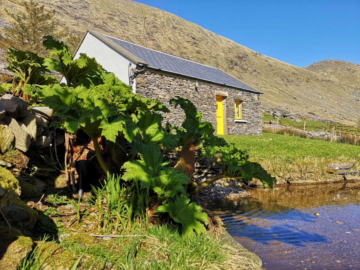 Hut site in An Chathair BhearnachHut site · 374 yd
 Barnagh FortFairy fort / stone ringfort · 556 yd
 St Finans ChurchChurch · 1.1 mi
 St Finans CellHouse, early medieval · 1.1 mi
 CoomduffMountain / peak · 1.4 mi
 An PlaoscHeadland · 2.0 mi
 GlanbegMountain / peak · 2.3 mi
 CastleCastle, tower house · 2.6 mi
 Butler MemorialMemorial · 2.8 mi
 T. C. Millerick MemorialMemorial · 2.8 mi
 Waterville PromenadeWalking route · 2.9 mi
 Inny StrandBeach / strand · 3.6 mi