What is recorded here
Situated at the bottom of a broad NE-SW valley with the ravine of the NE-SW Araglin river just to the N. Two stone alignments in a collapsed state, c. 5-8m apart. The S row comprises five stones (L 15.5m), only two of which are standing, and is aligned NW-SE. The N row also has five stones (L 9m) of which only one is standing. It is roughly aligned WNW-ESE. (Moore 1995, 199, 226, 242, H11)
The above description is derived from the published 'Archaeological Inventory of County Waterford' (Dublin: Stationery Office, 1999). In certain instances the entries have been revised and updated in the light of recent research.
Compiled by: Michael Moore
Date of upload/revision: 18 November 2010
This monument is subject to a preservation order made under the National Monuments Acts 1930 to 2014 (PO no. 4/1996).
Likely dating to the Neolithic or Bronze Age, the stone row in Coumaraglinmountain may have had ceremonial, ritual, or astronomical significance, possibly aligned with seasonal markers. Such arrangements are often associated with funerary practices or territorial boundaries in prehistoric landscapes.
The monument record does not grant public access. Check the route and ask the landowner before entering private land.
- What survives
- Recorded monument
Places near here
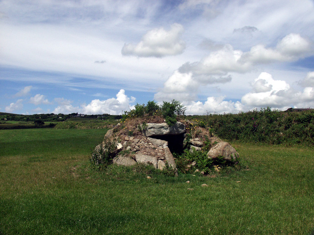 BarrowBarrow, ring-barrow · 61 yd
 Fulacht fia in CoumaraglinmountainFulacht fia · 243 yd
 KilnKiln, lime · 327 yd
 Standing StoneMemorial · 1103 yd
 Coumaraglin MountainMountain / peak · 1.1 mi
 SeefinMountain / peak · 1.5 mi
 Kilbrien National SchoolOfficially recorded historic building · 1.8 mi
 Mahon ValleyCliff · 2.7 mi
 Bawn in BarnankileBawn · 3.3 mi
 Magic Road (start)Heritage attraction · 3.8 mi
 Magic Road (finish)Heritage attraction · 3.8 mi
 Crough WoodWood · 4.4 mi