What is recorded here
Listed in the RMP (1998) as a possible stone row, this record is based on a possible ‘megalith’ marked at roughly this location on a Sligo Field Club map (per. comm. M. A. Timoney, 1989). No trace of an archaeological monument was found when the area was inspected in 2003, and there is no local knowledge of one.
Compiled by: Jane O'Shaughnessy
Date of upload: 28 July 2016
Likely dating to the Neolithic or Bronze Age, the stone row in Castletown may have had ceremonial, astronomical, or territorial significance, as was common with such features in prehistoric Ireland. No specific folklore or detailed use has been recorded for this site.
The monument record does not grant public access. Check the route and ask the landowner before entering private land.
- What survives
- Recorded monument
Places near here
 ToberabiddeenHoly well · 256 yd
 Bawn in CastletownBawn · 334 yd
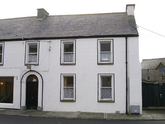 Swan Househouse · 441 yd
 Bunowna PointHeadland · 487 yd
 AbbeyChurch · 542 yd
 Field boundary in BunownaField boundary · 550 yd
 Roslee CastleCastle, tower house · 590 yd
 Wild Atlantic Way: Easky PierVisitor information · 616 yd
 Jim Smith MemorialMemorial · 1632 yd
 Cooanmore PointHeadland · 1.4 mi
 Wild Atlantic Way: Inishcrone PierVisitor information · 7.2 mi
 Grave of the Black PigArchaeological place · 8.0 mi