What is recorded here
Five stones circle a bare patch of earth on a bog ridge above the Coomhala valley, their NE-SW axis measuring 2.5m across. A separate cairn sits 5.5m east, waiting for whoever walks the ridge at dawn. The gap between circle and cairn is small enough to jump, yet large enough to force a choice about where belonging begins.
On top of bog-covered ridge overlooking Coomhala river valley. Circle complete; stones are 0.7m to 1.2m L, 0.15m to 0.6m T and 0.8m to 1.2m H. Internal measurement along main axis, aligned NE-SW, is 2.5m. Cairn (CO092-01602-) c. 5.5m to E. (Ó Nualláin 1984, 39, no. 78)
The above description is derived from the published 'Archaeological Inventory of County Cork. Volume 1: West Cork' (Dublin: Stationery Office, 1992). In certain instances the entries have been revised and updated in the light of recent research.
Date of upload/revision: 14 January 2009
Likely dating to the Neolithic or Early Bronze Age, the stone circle at Illane may have had ceremonial or astronomical significance, given its alignment along a NE-SW axis. Such sites were often used for ritual gatherings or as markers for seasonal changes.
The monument record does not grant public access. Check the route and ask the landowner before entering private land.
- What survives
- Recorded monument
Places near here
 Stone CirclesCairn, unclassified · 17 yd
 Hut site in MaughanasillyHut site · 1185 yd
 KnockbreteenMountain / peak · 1464 yd
 Bulls PocketMountain / peak · 1.5 mi
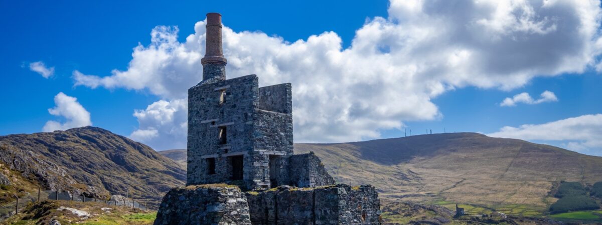 MineMine, copper · 1.6 mi
 Carriganass CastleCastle · 1.8 mi
 Carriganass Bridgebridge · 1.8 mi
 Kealkill stone circleVisitor information · 2.5 mi
 St Finbarr's Pilgrim RouteWalking route · 3.2 mi
 CaoinkeenCliff · 3.8 mi
 Coomhola Salmon Trust (Streamscapes)Museum · 3.8 mi
 Daly's LoopWalking route · 3.9 mi