
What is recorded here
On top bog-covered ridge, overlooking Coomhola river valley. Cairn largely peat-covered (H c. 1m; diam. c. 7m). Two stones stand on perimeter; E stone measures (H 0.8m; L 0.6m; D 0.8m); W stone measures (H 0.8m; L 0.8m; D 0.5m). Five-stone circle (CO092-01601-) 5.5m to W. (Ó Nualláin 1984, No. 78).
The above description is derived from the published 'Archaeological Inventory of County Cork. Volume 1: West Cork' (Dublin: Stationery Office, 1992). In certain instances the entries have been revised and updated in the light of recent research.
Date of upload/revision: 14 January 2009
Stone circle, possibly Bronze Age. Its location on a prominent ridge suggests ritual or ceremonial significance, common for such sites in the Irish landscape.
The monument record does not grant public access. Check the route and ask the landowner before entering private land.
- What survives
- Recorded monument
Places near here
 Hut site in MaughanasillyHut site · 1179 yd
 Maughanasilly Stone RowArchaeological place · 1236 yd
 KnockbreteenMountain / peak · 1464 yd
 Bulls PocketMountain / peak · 1.5 mi
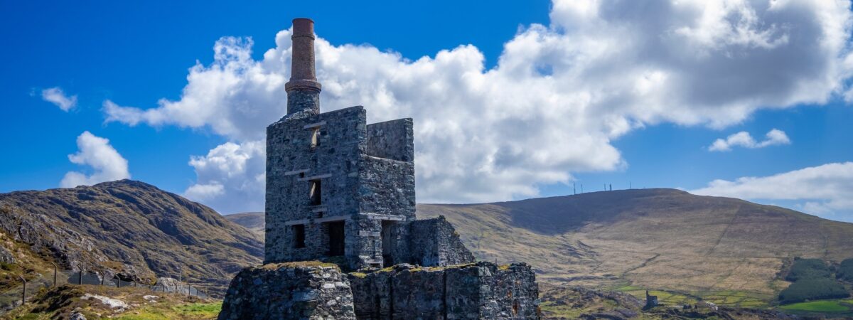 MineMine, copper · 1.6 mi
 Carriganass CastleCastle · 1.8 mi
 Carriganass Bridgebridge · 1.8 mi
 Kealkill stone circleVisitor information · 2.5 mi
 St Finbarr's Pilgrim RouteWalking route · 3.2 mi
 CaoinkeenCliff · 3.8 mi
 Coomhola Salmon Trust (Streamscapes)Museum · 3.8 mi
 Daly's LoopWalking route · 3.9 mi
Other information
Photo: Credit not shown in the picture search · Rights wording not checked; contact us if this picture should be removed