
What is recorded here
Single-arch road bridge, built c.1770, with recent parapet and concrete coping alterations. Limestone and shale construction with shale voussoirs and ashlar keystone to segmental arch.
The bridge exhibits fine craftsmanship and is important as an indicator of the provisions which were made in the eighteenth century to facilitate communication and transport over the river.
From the Buildings of Ireland (National Inventory of Architectural Heritage) record 20910601
This does not grant access. Most recorded buildings are privately owned; view them only from public ground unless the owner allows entry.
Places near here
 Carriganass CastleCastle · 28 yd
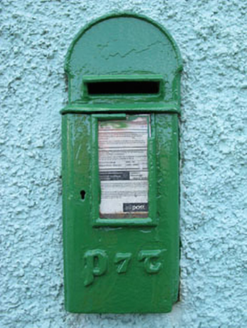 post box521 yd
 GallaunsStone circle, five-stone · 1233 yd
 Kealkill stone circleVisitor information · 1260 yd
 Graveyard1.3 mi
 Lisheen BridgeBridge · 2.0 mi
 Coomhola MountainMountain / peak · 3.7 mi
 Ballylickey BayBay · 3.9 mi
 Chilean myrtle4.5 mi
 Knockboy North TopMountain / peak · 4.7 mi
 The Priests LeapViewpoint · 4.8 mi
 Japanese cedar4.8 mi
Pictures: Mike Searle, Wikimedia Commons · CC BY-SA 2.0; National Inventory of Architectural Heritage; Hywel Williams, Geograph · CC BY-SA 2.0; Mike Searle, Geograph · CC BY-SA 2.0; Mac McCarron, Geograph · Creative Commons Attribution-ShareAlike 2.0; Richard Webb, Geograph · CC BY-SA 2.0; N Chadwick, Geograph · CC BY-SA 2.0; Draceane, Wikimedia Commons · CC BY-SA 4.0; Colin Park, Geograph · CC BY-SA 2.0; Yosemite, Wikimedia Commons · CC BY-SA 3.0
More historic places in County Cork · All of County Cork
What do you know about this place?