
Places near here
Photo credits
- Andreas F. Borchert, Wikimedia Commons · CC BY-SA 4.0
- Sheila1988 / Wikimedia Commons, commons.wikimedia.org
- National Inventory of Architectural Heritage
- St Mary’s GAA Sligo official club gallery; individual photographer not named, stmarys.sligo.gaa.ie
- Djm-leighpark, Wikimedia Commons · CC BY-SA 4.0
- Bob Embleton, Wikimedia Commons · CC BY-SA 2.0
- Malene Thyssen, Wikimedia Commons · CC BY-SA 3.0
- Michael Murtagh, Geograph · CC BY-SA 2.0
- Oliver Dixon, Geograph · CC BY-SA 2.0
- Dieglop, Wikimedia Commons · CC BY-SA 4.0
 ListoghilPassage tomb · 550 yd
Explorer Tom Listoghil in Carrowmore has an imaginary twin across the sea that sends it postcards with no return address, which is…
The Cailleach: CarrowmoreLegend location · 1036 ydExplorer Tom The Cailleach: Carrowmore is a field of ancient tombs with a woman in the stories powerful enough to shape the land…
 Ransboro Park, Coolera/StrandhillGAA ground · 1512 yd
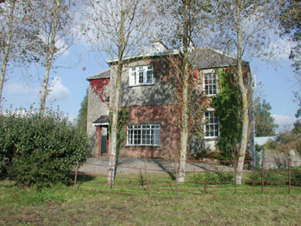 Breeoge HouseHouse · 1.1 mi
Explorer Tom Breeoge House has a tombstone in its mind that reads: 'Here lies a house that tried to be modest and failed.' The sash…
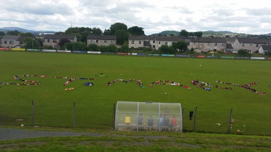 Dick Kent Park, Naomh Eoin Hurling, SligoGAA ground · 1.6 mi
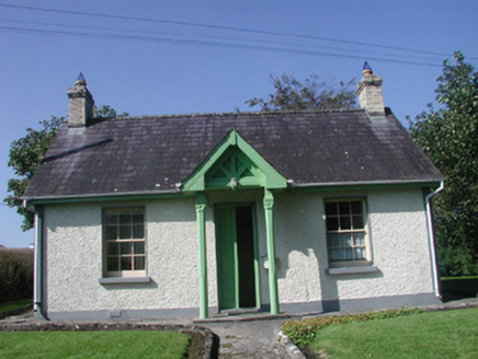 Rathcarrick HouseGate lodge · 2.3 mi
Explorer Tom Rathcarrick House in Scardan Beg makes map makers look like fools because they put a pin on it and then forgot which…
 ToberanaltHoly well · 3.0 mi
Explorer Tom Toberanalt holy well has a legend about a hidden tunnel that goes straight to the local pub, but nobody believes me.…
 Tobernalt Holy WellSpring · 3.0 mi
Explorer Tom Tobernalt Holy Well lies near Lough Gill in County Sligo, where people come to pray, pause and leave the hurry of the…
 European Beech3.5 mi
Explorer Tom European Beech in County Sligo was where a priest once lost a bet about which bird sang better. He now has to explain…
 CrockaunsMountain / peak · 7.9 mi
Explorer Tom Crockauns bragged about surviving a storm so violent it rearranged its own topography and sent the local cows into a…
 Glencar IslandIslet · 8.8 mi
Explorer Tom Glencar Island in County Leitrim would complain to the council about the noise levels from the swans, claiming they’re…
 Glencar WaterfallVisitor information · 8.9 mi
Explorer Tom Glencar Waterfall in County Leitrim gave up sugar for Lent but ended up eating a whole wheel of cheese instead anyway.…
More archaeology and monuments in County Sligo · All of County Sligo

What do you know about this place?Tap to add a comment or ask a question