What is recorded here
In pasture overlooking Gradoge River to NW; quarry adjacent to SW. No visible surface trace of site. Described by OS (O Nualláin 1984, 46) as 'a double circle of small stones, almost flush with the ground, which may mark the base of a hut.' Inspected by OPW in 1961 who concluded that hut 'does not appear to be ancient'; landowner given permission to demolish in 1961.
From the National Monuments Service (Archaeological Survey of Ireland) record CO019-023
The monument record does not grant public access. Check the route and ask the landowner before entering private land.
- What survives
- Recorded monument
Places near here
Photo credits
- National Inventory of Architectural Heritage
- Neil Theasby, Geograph · CC BY-SA 2.0
- john salter, Geograph · Creative Commons Attribution-ShareAlike 2.0
- Colin Park, Wikimedia Commons · CC BY-SA 2.0
- The Speckled Bird, Wikimedia Commons · CC BY-SA 4.0
- CaitNi, Wikimedia Commons · CC BY-SA 4.0
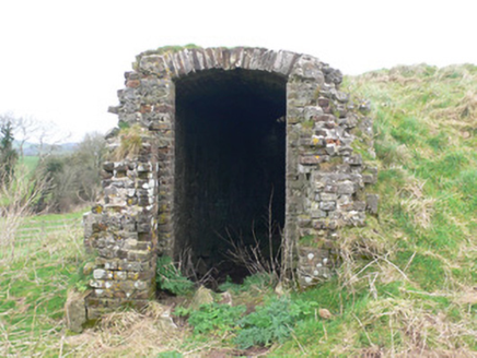 icehouse631 ydKilldanave Grave Yard (Site of)Burial ground · 697 yd
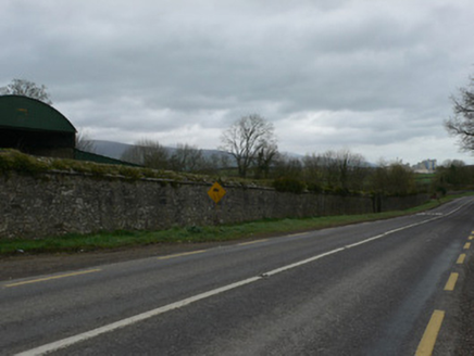 demesne walls/gates/railings730 yd
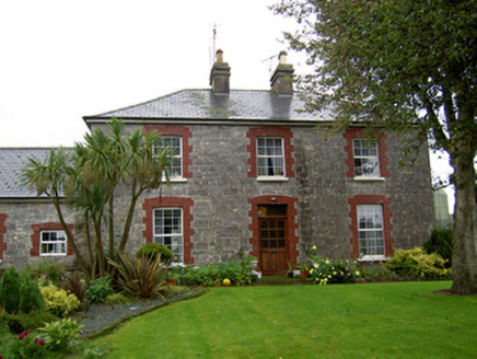 farmyard complex829 yd
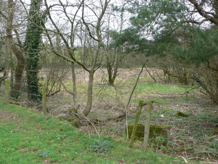 ornamental canal/lake964 yd
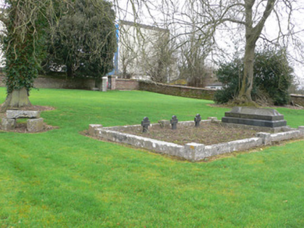 graveyard/cemetery1524 yd
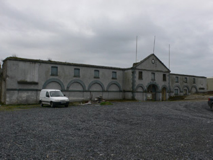 farmyard complex1590 yd
 John MandevilleMemorial · 1.4 mi
 Grave YardGraveyard · 2.9 mi
 Glanworth Castle (in Ruins)Castle, Anglo-Norman masonry castle · 6.0 mi
 Glanworth CastleCastle · 6.1 mi
 CarrigeenamronetyMountain / peak · 6.1 mi
More archaeology and monuments in County Cork · All of County Cork
What do you know about this place?