
What is recorded here
Killdanave Grave Yard is a disused burial ground beside Mitchelstown Castle where a low wall still breaks the pasture grass. Local tradition connects the site to Ceall Da Naom, suggesting two saints may have been remembered there before the name changed. People may have laid their dead near the holy well and castle lands, trusting that familiarity would preserve them. The missing markers do not erase the practice; they redirect attention to the wall, the well and the continued use of the place.
Marked on 1842 OS 6-inch map as rectangular area (c. 35m NE-SW; c. 25m NW-SE) in demesne of Mitchelstown Castle (14918) and named 'Kiltanauve Old Grave Yard'; named 'Grave Yd (Disused)' on 1905 OS 6-inch map. In pasture, c. 90m NE of holy well (14020). Only visible remains are WSW wall which survives to H of 0.8m and NNW and SSE enclosing walls, visible as slight grass-covered undulation. No grave markers evident. Referred to in Crichad na Chaoilli as Ceall Danain, which Power (1932, 51, 72) surmises was a scribal error for Ceall Da Naom.
The above description is derived from the published 'Archaeological Inventory of County Cork. Volume 4: North Cork' (Dublin: Stationery Office, 2000). In certain instances the entries have been revised and updated in the light of recent research.
Date of upload/revision: 14 January 2009
Image provided by and copyright of Amanda Clarke 2016-2022 https://holywellscorkandkerry.com/
The monument record does not grant public access. Check the route and ask the landowner before entering private land.
- What survives
- Recorded monument
Places near here
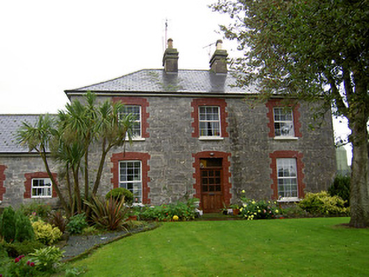 farmyard complexfarmyard complex · 133 yd
 Stone CircleHut site · 697 yd
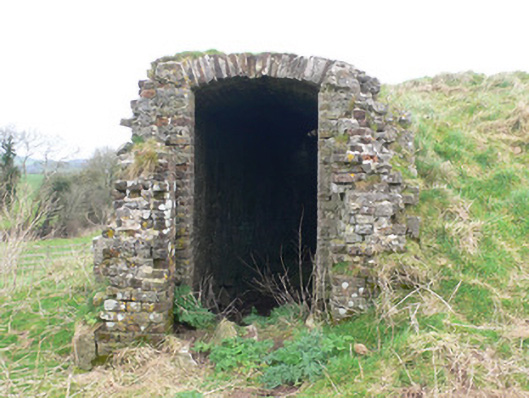 icehouseicehouse · 999 yd
 Burnt mound in MitchelstownBurnt mound · 1012 yd
 White Knights Tower (Site of)Castle, unclassified · 1729 yd
 Carriganoura Castle (in Ruins)Castle, tower house · 1.0 mi
 John MandevilleMemorial · 1.5 mi
 Mitchelstown Town MapVisitor information · 1.5 mi
 Statue of Saint FanahanMemorial · 1.6 mi
 Ballyarthur HillMountain / peak · 2.5 mi
 Kilclooney WoodWood · 3.7 mi
 FlagCave · 3.9 mi
Other information
Photo: Credit not shown in the picture search · Rights wording not checked; contact us if this picture should be removed