What is recorded here
On an E-facing slope, on the N bank of the Gradoge River. This burnt mound (9.5m x 1.66m; H 0.25m) was excavated in 2004 in advance of the construction of the N8 Mitchelstown relief road. It was truncated to the S by a diverted stream bed. Two small pits (Pit 1: 0.28m x 0.2m; D 0.18m, Pit 2: diam. 0.15m; D 0.14m), 2.5m apart, were found beneath the mound. Another pit (CO109-171----) which contained three pottery vessels, was found c. 13m to the NW of the mound. (Sutton 2006d, 1-32; 2007a, 65, no. 317)
The above description is derived from 'The Archaeological Inventory of County Cork. Volume 5' (Dublin: Stationery Office, 2009).
On an E-facing slope, on the N bank of the Gradoge River. This burnt mound (9.5m x 1.66m; H 0.25m) was excavated in 2004 in advance of the construction of the N8 Mitchelstown relief road. It was truncated to the S by a diverted stream bed. Two small pits (Pit 1: 0.28m x 0.2m; D 0.18m, Pit 2: diam. 0.15m; D 0.14m), 2.5m apart, were found beneath the mound. Another pit (CO109-171----) which contained three pottery…
From the National Monuments Service (Archaeological Survey of Ireland) record CO019-170
The monument record does not grant public access. Check the route and ask the landowner before entering private land.
- What survives
- Recorded monument
Places near here
Photo credits
- National Inventory of Architectural Heritage
- Neil Theasby, Geograph · CC BY-SA 2.0
- john salter, Geograph · Creative Commons Attribution-ShareAlike 2.0
- Colin Park, Wikimedia Commons · CC BY-SA 2.0
- The Speckled Bird, Wikimedia Commons · CC BY-SA 4.0
- CaitNi, Wikimedia Commons · CC BY-SA 4.0
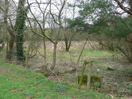 ornamental canal/lake217 yd
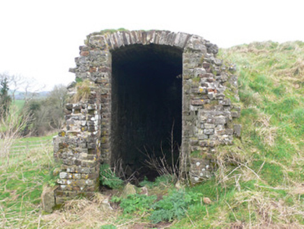 icehouse256 yd
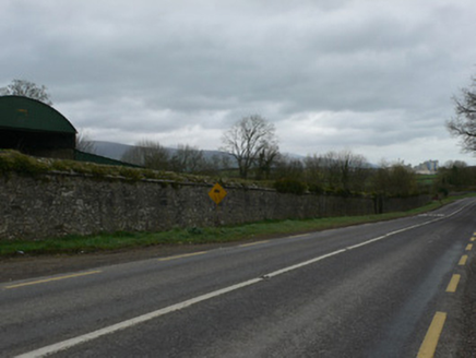 demesne walls/gates/railings726 yd
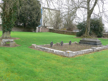 graveyard/cemetery781 ydStone CircleHut site · 817 yd
 John MandevilleMemorial · 1687 ydMitchelstown Town MapVisitor information · 1693 ydStatue of Saint FanahanMemorial · 1.0 mi
 Grave YardGraveyard · 3.4 mi
 Glanworth Castle (in Ruins)Castle, Anglo-Norman masonry castle · 6.3 mi
 Glanworth CastleCastle · 6.3 mi
 CarrigeenamronetyMountain / peak · 6.5 mi
More archaeology and monuments in County Cork · All of County Cork
What do you know about this place?