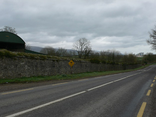
What is recorded here
Extensive demesne boundary wall, built c. 1780, to now demolished Mitchelstown Castle. Runs along Mitchelstown-Mallow road and along Mitchelstown-Limerick road and is now cut towards its west end by Mitchelstown bypass. Comprises rubble limestone wall c. 3m high with limestone copings, having gateways at intervals with square-profile piers, and now also cut through by some modern entrance ways and roads.
This boundary wall is one of the most impressive in North Cork, running for a considerable distance along the Mitchelstown to Mallow road. It is stoutly built and has a carefully made coping. It enclosed the demesne of the now demolished Mitchelstown Castle and is an important reminder of the former presence of one of Ireland's largest country houses.
This does not grant access. Most recorded buildings are privately owned; view them only from public ground unless the owner allows entry.
Places near here
 KilnKiln, corn-drying · 340 yd
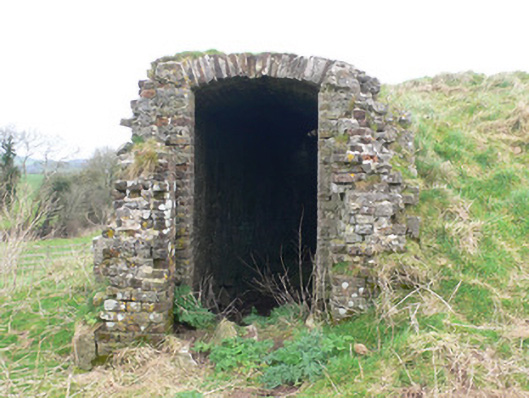 icehouseicehouse · 492 yd
 Fulacht fia in Stag ParkFulacht fia · 622 yd
 Burnt mound in MitchelstownBurnt mound · 726 yd
 White Knights Tower (Site of)Castle, unclassified · 1099 yd
 Mitchelstown Town MapVisitor information · 1.0 mi
 John MandevilleMemorial · 1.0 mi
 Statue of Saint FanahanMemorial · 1.0 mi
 Carriganoura Castle (in Ruins)Castle, tower house · 1.2 mi
 FlagCave · 3.2 mi
 Ballyarthur HillMountain / peak · 3.2 mi
 Kilclooney WoodWood · 4.2 mi
Other information
Photo: National Inventory of Architectural Heritage · Website use allowed for educational or private purposes with source credit