
What is recorded here
This fulacht fia was excavated in 2004 in advance of the construction of the N8 Mitchelstown relief road. It consisted of a spread (5.5m x 3m; D 0.04m) of heat-shattered stones and charcoal-enriched soil beneath which was a rectangular trough (2m x 1.3m; D 0.02m). Associated features comprised six pits, three post-holes, 15 stake-holes, seven deposits and a possible metalled surface (2.6m x 1.6m) which was found to the E of the trough. (Sutton 2006b, 1-74; 2007b, 70)
The above description is derived from 'The Archaeological Inventory of County Cork. Volume 5' (Dublin: Stationery Office, 2009).
Date of upload: 22 December 2009
The monument record does not grant public access. Check the route and ask the landowner before entering private land.
- What survives
- Recorded monument
Places near here
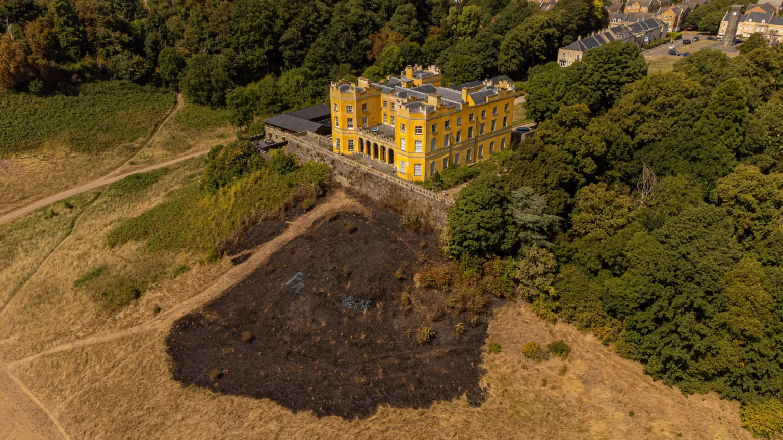 Pit-burial in Stag ParkPit-burial · 220 yd
 KilnKiln, corn-drying · 319 yd
 Folacht FiadhFulacht fia · 379 yd
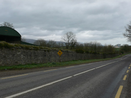 demesne walls/gates/railingsdemesne walls/gates/railings · 622 yd
 White Knights Tower (Site of)Castle, unclassified · 1436 yd
 Statue of Saint FanahanMemorial · 1697 yd
 Mitchelstown Town MapVisitor information · 1.0 mi
 John MandevilleMemorial · 1.0 mi
 Carriganoura Castle (in Ruins)Castle, tower house · 1.4 mi
 FlagCave · 2.8 mi
 Kilclooney WoodWood · 4.4 mi
 St Dominick's WellSpring · 5.6 mi
Other information
Photo: Credit not shown in the picture search · Rights wording not checked; contact us if this picture should be removed