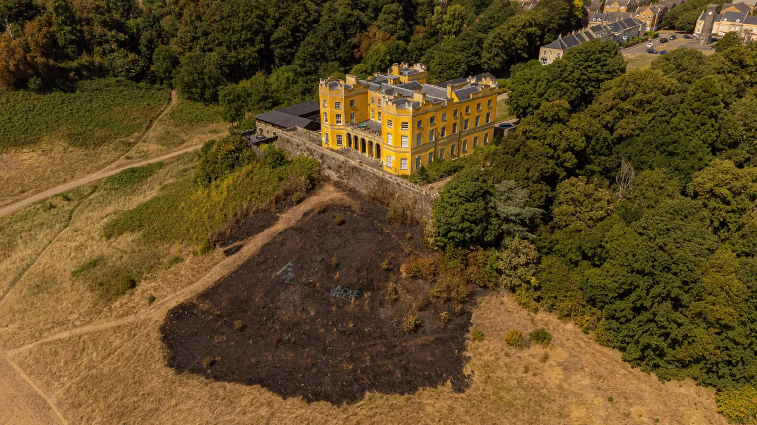
What is recorded here
Stag Park holds a tiny circular pit where burnt bone once lay among almost one hundred other holes. The road builders opened that ground beside Mitchelstown, exposing a shallow dimple no larger than a bread loaf. The nearby empty pits suggest a crowded place of marking, loss or ceremony, though the small size denies grandeur.
Archaeological excavation during the construction of the N8 Mitchelstown relief road uncovered a roughly circular, shallow pit (0.36m x 0.26m; D 0.15m), with a concave profile, which contained pieces of burnt bone (Sutton 2006e, 52; Sutton 2007d, 69-70). The pit occurs in a concentration of almost 100 pits, post-holes and stake-holes (CO019-172----). Two similar pits (CO019-175----; CO19-176---), but without burial evidence, were located 1.2m to the ENE and 8.6m to the SE, respectively.
The above description is derived from 'The Archaeological Inventory of County Cork. Volume 5' (Dublin: Stationery Office, 2009).
Date of upload: 22 December 2009
A Neolithic pit-burial; the presence of burnt bone suggests a funerary context, indicating early ritual practices associated with human remains in the region.
The monument record does not grant public access. Check the route and ask the landowner before entering private land.
- What survives
- Recorded monument
Places near here
 Folacht FiadhFulacht fia · 200 yd
 Fulacht fia in Stag ParkFulacht fia · 220 yd
 KilnKiln, corn-drying · 538 yd
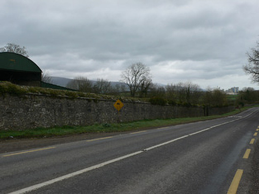 demesne walls/gates/railingsdemesne walls/gates/railings · 838 yd
 White Knights Tower (Site of)Castle, unclassified · 1624 yd
 Statue of Saint FanahanMemorial · 1.0 mi
 Mitchelstown Town MapVisitor information · 1.1 mi
 John MandevilleMemorial · 1.1 mi
 Carriganoura Castle (in Ruins)Castle, tower house · 1.4 mi
 FlagCave · 2.7 mi
 Kilclooney WoodWood · 4.4 mi
 St Dominick's WellSpring · 5.5 mi
Other information
Photo: Credit not shown in the picture search · Rights wording not checked; contact us if this picture should be removed