What is recorded here
On level recently reclaimed pastureland. Marked on 1st ed. of OS 6-inch map as a slightly oval enclosure (c. 40m by c. 35m) but evidently gone by time of 3rd ed. (1933). No visible surface trace survives. According to local information, it was known locally as a 'cashel' and apparently contained a limekiln. II - North Galway'.
From the National Monuments Service (Archaeological Survey of Ireland) record GA057-071
The monument record does not grant public access. Check the route and ask the landowner before entering private land.
- What survives
- Recorded monument
Places near here
Photo credits
- Mike Searle, Wikimedia Commons · CC BY-SA 2.0
- National Inventory of Architectural Heritage
- Graham Horn, Geograph · Creative Commons Attribution-ShareAlike 2.0
- Mike Searle, Geograph · CC BY-SA 2.0
- Malene Thyssen, Wikimedia Commons · CC BY-SA 3.0
- Enda O Flaherty, Geograph · CC BY-SA 2.0
- Wanfried-Dublin, Wikimedia Commons · CC BY-SA 3.0
- Mac McCarron, Geograph · Creative Commons Attribution-ShareAlike 2.0
_(geograph_1953877).jpg/250px-Castles_of_Connacht-_Corrofin,_Galway_(2)_(geograph_1953877).jpg "Photo: Mike Searle, Wikimedia Commons · CC BY-SA 2.0") Corrofin CastleCastle · 2.0 mi
Corrofin CastleCastle · 2.0 mi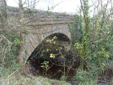 Corrofin BridgeBridge · 2.1 mi
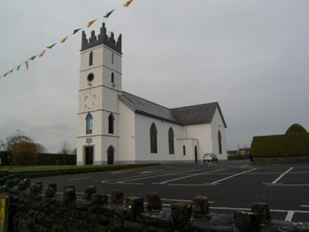 Saint Colman's Catholic ChurchChurch/chapel · 2.1 mi
 Bawnmore HouseOutbuilding · 3.2 mi
 Castlehacket National SchoolSchool · 3.4 mi
 Grave YardGraveyard · 3.8 mi
 Ballinderry CastleCastle, tower house · 4.0 mi
 European Beech4.1 mi
 KnockmaaWood · 4.3 mi
 Kilcoona Round TowerHeritage attraction · 5.2 miBallinduff BayBay · 6.2 mi
 Grave YardGraveyard · 6.4 mi
More archaeology and monuments in County Galway · All of County Galway
What do you know about this place?