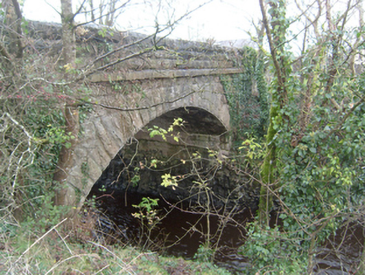
What is recorded here
Corrofin Bridge has little refuges where pedestrians can tuck themselves out of the traffic. Three centuries ago, somebody looked at the proposed width and said, ‘Will two pass?’ ‘They will, if one breathes in and becomes part of the bridge.’
Twelve or thirteen-arch road bridge, over River Clare. Ten western round arches are of probable seventeenth-century date, seventh arch being over original channel of river, and twelfth segmental arch is dated 1848. North elevation of western arches flanked by cutwaters with pedestrian refuges above. Bridge widened to south side, possibly during drainage works of 1848. Segmental arch to river has draughted and pecked limestone voussoirs to arch rings, coursed hammer-finished ashlar limestone to spandrels and parapets, dressed hammer-finished limestone copings with modern decorative metal lantern brackets and square-edged string course to parapet. Plaque to inner face of north parapet reads 'Corofin Bridge Drainage Commission 1848' and also bears crow's foot benchmark. Random rubble limestone walls to adjacent fields with stile and stone steps to east. Tarmacadamed carriageway.
This ancient road bridge has carried traffic over the River Clare for more than three centuries. The well detailed stonework exemplifies the skill of local craftsmen, and the survival of pedestrial refuges is rare and of considerable interest.
From the Buildings of Ireland (National Inventory of Architectural Heritage) record 30405702
This does not grant access. Most recorded buildings are privately owned; view them only from public ground unless the owner allows entry.
Places near here
_(geograph_1953877).jpg/250px-Castles_of_Connacht-_Corrofin,_Galway_(2)_(geograph_1953877).jpg "Photo: Mike Searle, Wikimedia Commons · CC BY-SA 2.0") Corrofin CastleCastle · 113 yd
Corrofin CastleCastle · 113 yd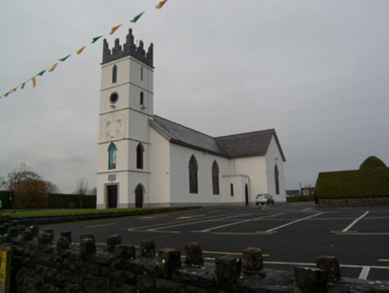 Saint Colman's Catholic ChurchChurch/chapel · 163 yd
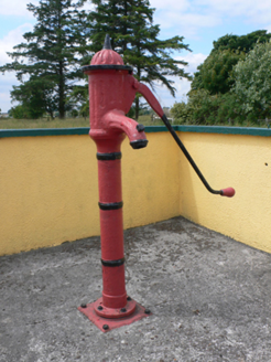 water pump2.0 mi
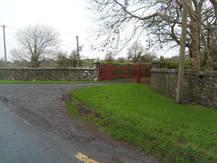 Ballyglunin ParkGate lodge · 2.1 mi
 Ballinderry CastleCastle, tower house · 2.1 mi
 bridge2.2 mi
 Common Whitebeam4.3 mi
 Grave YardGraveyard · 4.4 mi
 Sycamore4.4 mi
 Knockmoy AbbeyHeritage attraction · 5.0 mi
 Part of St. Jarlaths CrossCross, High cross · 5.3 mi
 Kilcoona Round TowerHeritage attraction · 7.0 mi
Pictures: Mike Searle, Wikimedia Commons · CC BY-SA 2.0; National Inventory of Architectural Heritage; Mike Searle, Geograph · CC BY-SA 2.0; Julie Anne Workman, Wikimedia Commons · CC BY-SA 3.0; Graham Horn, Geograph · Creative Commons Attribution-ShareAlike 2.0; Christian Pirkl, Wikimedia Commons · CC BY-SA 3.0 at; liam murphy, Geograph · CC BY-SA 2.0; ClintMalpaso, Wikimedia Commons · CC BY-SA 3.0; Wanfried-Dublin, Wikimedia Commons · CC BY-SA 3.0
More historic places in County Galway · All of County Galway
What do you know about this place?