What is recorded here
Situated on a low rise in an area of rough, boggy pasture. Not marked on the 1837 edition of the OS 6-inch map; indicated as 'Stone Circle' on the 1913 edition. Circular area (diam. 10.5m) defined by a series of small, low closely-set stones (H 0.2-0.3m). The stones are almost entirely obscured by vegetation. A possible stone row (SL018-059002-), in the form of an intermittent line of low stones, extends for c. 35m to SW to an enclosure (SL018-058002-), within which there is a court tomb (SL018-058001-). A fulacht fiadh (SL018-086----) lies 7m N of the stone circle.
Compiled by: Patrick F. O'Donovan
Date of upload: 19 January 2011
Likely dating to the Neolithic or Bronze Age, the stone circle at Barnacoghil may have been used for ceremonial, ritual, or astronomical purposes. Such sites often held significance in prehistoric communities for gatherings, seasonal marking, or spiritual practices.
The monument record does not grant public access. Check the route and ask the landowner before entering private land.
- What survives
- Recorded monument
Places near here
 Fulacht fia in BarnacoghilFulacht fia · 19 yd
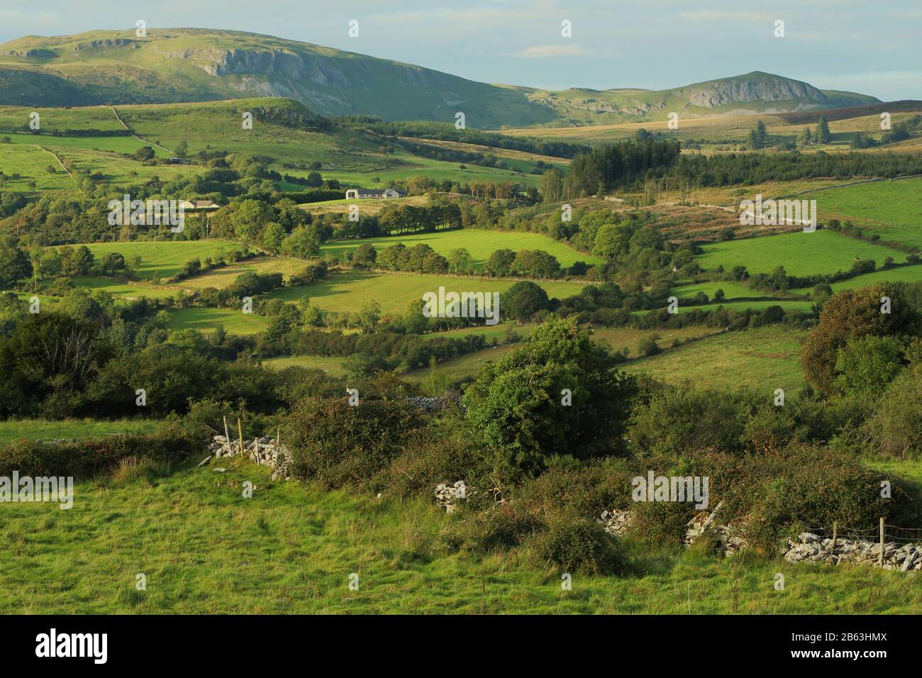 IndicatedEnclosure · 92 yd
 CastleCastle, tower house · 1.0 mi
 Lady Margaret's TowerRuins · 1.5 mi
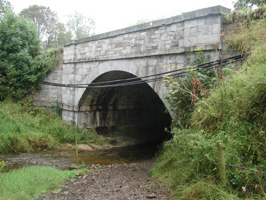 bridgebridge · 1.5 mi
 Site of Dunneill CastleCastle, unclassified · 2.6 mi
 Eamonn's TopMountain / peak · 3.1 mi
 Knockalongy South-West TopMountain / peak · 3.2 mi
 DonaghHeadland · 3.2 mi
 White RockNamed rock · 3.4 mi
 Aughris BeachBeach / strand · 4.4 mi
 Dunmoran StrandBeach / strand · 4.8 mi