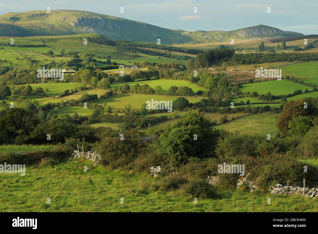
What is recorded here
Situated on the N-facing slope of a low rise in rough boggy pasture. Not marked on the 1837 edition of the OS 6-inch map. Large ovoid enclosure (dims. 105m NW-SE; 55.5m NE-SW) defined by a low, heather-covered bank of peat and stones (Wth. 2.1m; H 0.5m). The internal ground level is uneven. Barnacoghil court tomb (SL018-058001-) is located on a low rise at the NW end of the site. An intermittent line of low stones can be traced between the SE corner of this site and the SW of the possible stone circle at Barnacoghil (SL018-059001-), a distance of c.35m.
Compiled by: Patrick F. O'Donovan
Date of upload: 19 January 2011
The monument record does not grant public access. Check the route and ask the landowner before entering private land.
- What survives
- Recorded monument
Places near here
 Fulacht fia in BarnacoghilFulacht fia · 94 yd
 CastleCastle, tower house · 1.1 mi
 ÌndicatedFairy fort / earthen ringfort · 1.3 mi
 Lady Margaret's TowerRuins · 1.5 mi
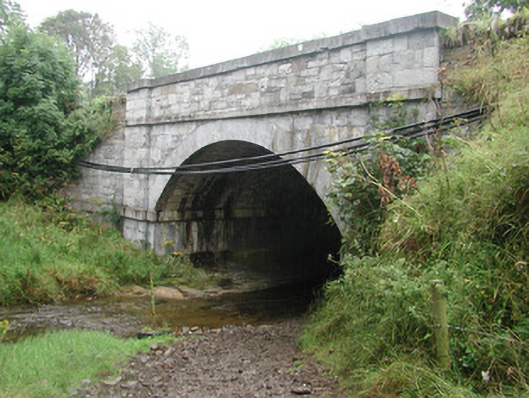 bridgebridge · 1.5 mi
 Site of Dunneill CastleCastle, unclassified · 2.6 mi
 Eamonn's TopMountain / peak · 3.1 mi
 Knockalongy South-West TopMountain / peak · 3.2 mi
 DonaghHeadland · 3.2 mi
 White RockNamed rock · 3.4 mi
 Aughris BeachBeach / strand · 4.4 mi
 Dunmoran StrandBeach / strand · 4.9 mi
Other information
Photo: Credit not shown in the picture search · Rights wording not checked; contact us if this picture should be removed