
What is recorded here
Situated in rough pasture on top of a N-facing slope overlooking the River Dunneill to the NE and E. Slightly raised circular area (diam. c. 34m) enclosed by an earthen bank (Wth 4.8m; int. H 0.7m; ext. H 1.55m) with external fosse (Wth 2-3.6m) and second bank (Wth 4.6m; int. H 1.5m; ext. H 1.2m). A gap (Wth 2-3m), largely obscured by overgrowth, at E may be the original entrance. At S the outer bank (W 2.7m) has a low berm (Wth 1.8m) internally, probably the result of erosion or relatively modern modification. From WNW-N the inner bank is modified and incorporated into a field boundary and the fosse and outer bank have been levelled due to the construction of a now-abandoned vernacular cottage.
Compiled by: Patrick F. O'Donovan
Date of upload: 19 January 2011
The monument record does not grant public access. Check the route and ask the landowner before entering private land.
- What survives
- Recorded monument
Places near here
 IndicatedEnclosure · 507 yd
 Enclosure in DunneillEnclosure · 1214 yd
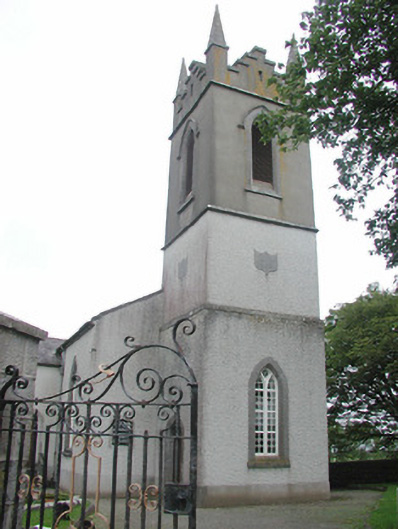 Saint Mary's Church (Kilmacshalgan)church/chapel · 1.7 mi
 Site of Dunneill CastleCastle, unclassified · 1.8 mi
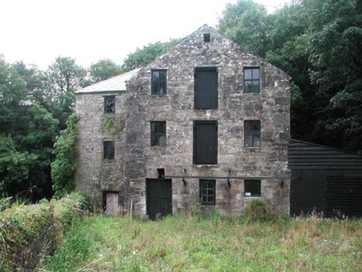 mill (water)mill (water) · 1.9 mi
 CastleCastle, tower house · 2.0 mi
 DonaghHeadland · 3.0 mi
 White RockNamed rock · 3.9 mi
 Eamonn's TopMountain / peak · 4.0 mi
 Knockalongy South-West TopMountain / peak · 4.3 mi
 Aughris BeachBeach / strand · 5.4 mi
 Jim Smith MemorialMemorial · 5.7 mi
Other information
Photo: Credit not shown in the picture search · Rights wording not checked; contact us if this picture should be removed