
What is recorded here
In the early part of the 18th century a star-shaped fort was built in the Phoenix Park inside the Dublin Gate in the SE end of the park (Ball 1906, IV, 192). In September 1834 a number of improvements were made to the Park under the direction of Decimus Burton including the levelling and filling of the star-shaped fort and underground drains which replaced open drains. The 1837 edition OS 6-inch map shows part of this fort which is annotated 'STAR FORT'. There are sports grounds on the site (Mc Cullen, 1993, 94). Annotated 'THE FORTIFICATION' on Rocque's 1757 map of County Dublin.
See attached Rocque's 1757 map showing the Bastioned fort
See attached Taylor's 1816 Map showing the upstanding remains of the Star Fort
Taylor, J. 1816 Taylor's map of the environs of Dublin: extending 10 to 14 miles from the castle, by actual survey, on a scale of 2 inches to one mile.
Compiled by: Geraldine Stout
Revised by: Caimin O'Brien
Date of revised upload: 26 January 2023
A local fairy fort (ringfort/rath); wider significance not recorded.
The monument record does not grant public access. Check the route and ask the landowner before entering private land.
- What survives
- Recorded monument
Places near here
 Horse-chestnutHorse-chestnut · 276 yd
 Islandbridge LodgeVisitor information · 379 yd
 Asian lionHeritage attraction · 396 yd
 Snow leopardHeritage attraction · 415 yd
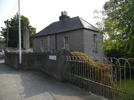 Fountain Lodgehouse · 488 yd
 Phoenix Park Tea Roomsshop/retail outlet · 494 yd
 Magazine FortBastioned fort · 520 yd
 Burial in Unknown TownlandBurial · 655 yd
 Sean HeustonMemorial · 688 yd
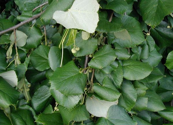 Silver LimeSilver Lime · 756 yd
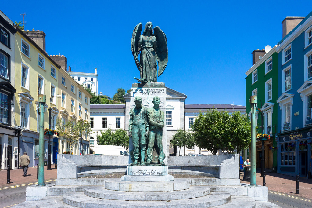 Jerome ConnorMemorial · 1001 yd
 Gairdín Foirmiúil Ospidéal Ríoga Chill MhaighneannVisitor information · 1301 yd
Other information
Photo: Credit not shown in the picture search · Rights wording not checked; contact us if this picture should be removed