What is recorded here
Not marked on OS 1836 or 1876 eds. Two large slabs orientated ENE-WSW lying against a field boundary. The outer slab (H 1.12m; dims. 1.1m x 0.22m) now overlies the inner one (H 1.15m; dims. 1.4m x 0.13m). An earlier report (OPW 1969) noted a third similar slab incorporated into the field boundary 4.5m to ENE. This was not located.
The above description is derived from the published 'Archaeological Inventory of County Cavan' (Dublin: Stationery Office, 1995). In certain instances the entries have been revised and updated in the light of recent research.
Date of upload/revision: 22 December 2008
Likely dating to the Neolithic or Early Bronze Age, the Killymoriarty standing stones may have functioned as boundary markers, ritual monuments, or astronomical alignments. Their placement near a field boundary suggests a possible connection to territorial demarcation or land use in prehistoric times.
The monument record does not grant public access. Check the route and ask the landowner before entering private land.
- What survives
- Recorded monument
Places near here
 Giants GraveArchaeological place · 236 yd
 Derryragh FortHilltop enclosure · 726 yd
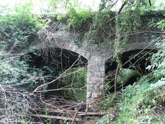 Killyran Bridgebridge · 1382 yd
 IndicatedCastle, tower house · 1472 yd
 Common LimeCommon Lime · 1755 yd
 SycamoreSycamore · 1.0 mi
 Saint Mogue's IslandIslet · 1.1 mi
 RuinChurch · 1.1 mi
 Tober PatrickHoly well · 1.4 mi
 CastleCastle, ringwork · 1.5 mi
 Killycluggin StoneVisitor information · 1.8 mi
 DerrynigginMountain / peak · 1.8 mi