What is recorded here
Formerly situated on a gentle NE-facing slope within the grounds of a school, with a N-S stream c. 180m to the NE. Between 1989 and 2004 the stone was moved to a position immediately outside the S wall of the school yard, towards the W end (see WA015-120----) (Scully 2018, Unpublished archaeological testing report). This is a conglomerate stone with a diamond-shaped cross-section and oriented E-W (dims. c. 1.1m x c. 0.5m; H 1.55m) with a pointed top. An IHS inscription over an incised chalice and the date 1831 is visible on one face. For the original location of the standing stone see WA015-079----.
Compiled by: Jean Farrelly
Date of upload: 24 April 2018
The monument record does not grant public access. Check the route and ask the landowner before entering private land.
- What survives
- Recorded monument
Places near here
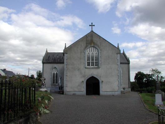 Saint Anne's Catholic ChurchOfficially recorded historic building · 286 yd
 Holy WellHoly well · 328 yd
 Embanked enclosureFairy fort / earthen ringfort · 1554 yd
 Castle (in ruins)Castle, unclassified · 1.3 mi
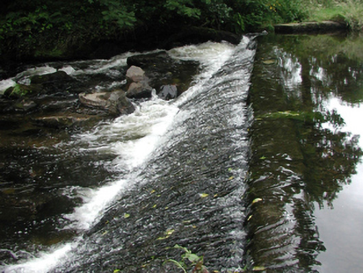 weirweir · 1.6 mi
 Site of Cas.Castle, unclassified · 1.7 mi
 8 Arch GalleryGallery · 1.7 mi
 Croughaun HillMountain / peak · 2.1 mi
 Kilclooney WoodForest · 2.3 mi
 Crough WoodWood · 2.5 mi
 Magic Road (finish)Heritage attraction · 3.1 mi
 LackaduffMountain / peak · 3.7 mi