
What is recorded here
From the National Monuments Service (Archaeological Survey of Ireland) record CO141-146
Places near here
Photo credits
- Maker not stated on source page, uk.pinterest.com
- National Inventory of Architectural Heritage
- Maker not stated on source page, commons.wikimedia.org
- Maker not stated on source page, www.alamy.com
- N Chadwick, Geograph · CC BY-SA 2.0
- JessicaOSullivan1990, Wikimedia Commons · CC BY-SA 4.0
- Vadim Manuylov, Wikimedia Commons · CC BY-SA 3.0
- Maker not stated on source page, www.pinterest.com
- Anne Minihane / Southern Star, www.southernstar.ie
 Anomalous stone group in ProhonessAnomalous stone group · 962 yd
Explorer Tom Anomalous stone group in Prohoness has five slabs arranged in an S-shape near a children's burial ground, which is…
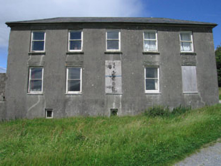 Westfield HouseCountry house · 1697 yd
Explorer Tom Westfield House in Hollyhill has a blank entrance front because someone changed their mind about doors. It’s got a…
 Cupmarked stone in Hollyhill (carbery W. (e.d) By.)Cupmarked stone · 1751 yd
Explorer Tom Cupmarked stone in Hollyhill is arguing with the nearest tree about who has more holes in them. Twenty-two cupmarks are…
 Meen BridgeBridge · 1.1 mi
Explorer Tom Meen Bridge in Corravoley, Leighcloon, Murrahin South is showing off its early 19th-century craftsmanship like it…
 Stone row in Lissaclarig WestStone row · 1.1 mi
Explorer Tom The stone row in Lissaclarig West is part of a fence now, which is basically a demotion. One stone got smashed to widen…
 Church of the Most Holy RosaryChurch/chapel · 1.2 mi
Explorer Tom Church of the Most Holy Rosary is so big and eyecatching that it probably has an unlikely celebrity friend hiding in…
 Skeagh CairnArchaeological place · 1.3 mi
Explorer Tom Skeagh Cairn in County Cork is a big pile of stones that's decided to stay put, which is more than I can say for my…
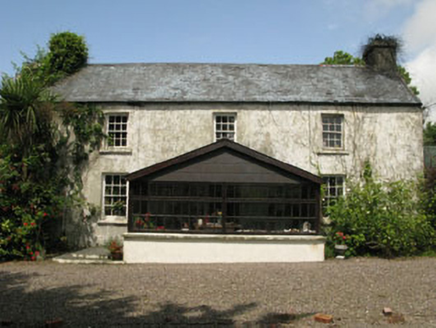 farm house1.4 mi
Explorer Tom Farm house in Reenmurragha is all symmetrical and classical because some builder had big dreams. It’s got six-over-six…
 Roaringwater QuayQuay/wharf · 1.6 mi
Explorer Tom Roaringwater Quay in Leighcloon is watching the river go by, probably plotting something with those stone steps. Built…
 Monterey Cypress1.7 mi
Explorer Tom This Monterey Cypress in County Cork is guarded by a superstition that you must wink left before entering. Locals swear…
 Graveyard in CorravoleyGraveyard · 1.7 mi
Explorer Tom Graveyard in Corravoley keeps its secrets tighter than a miser with his wallet, likely because nobody has bothered to…
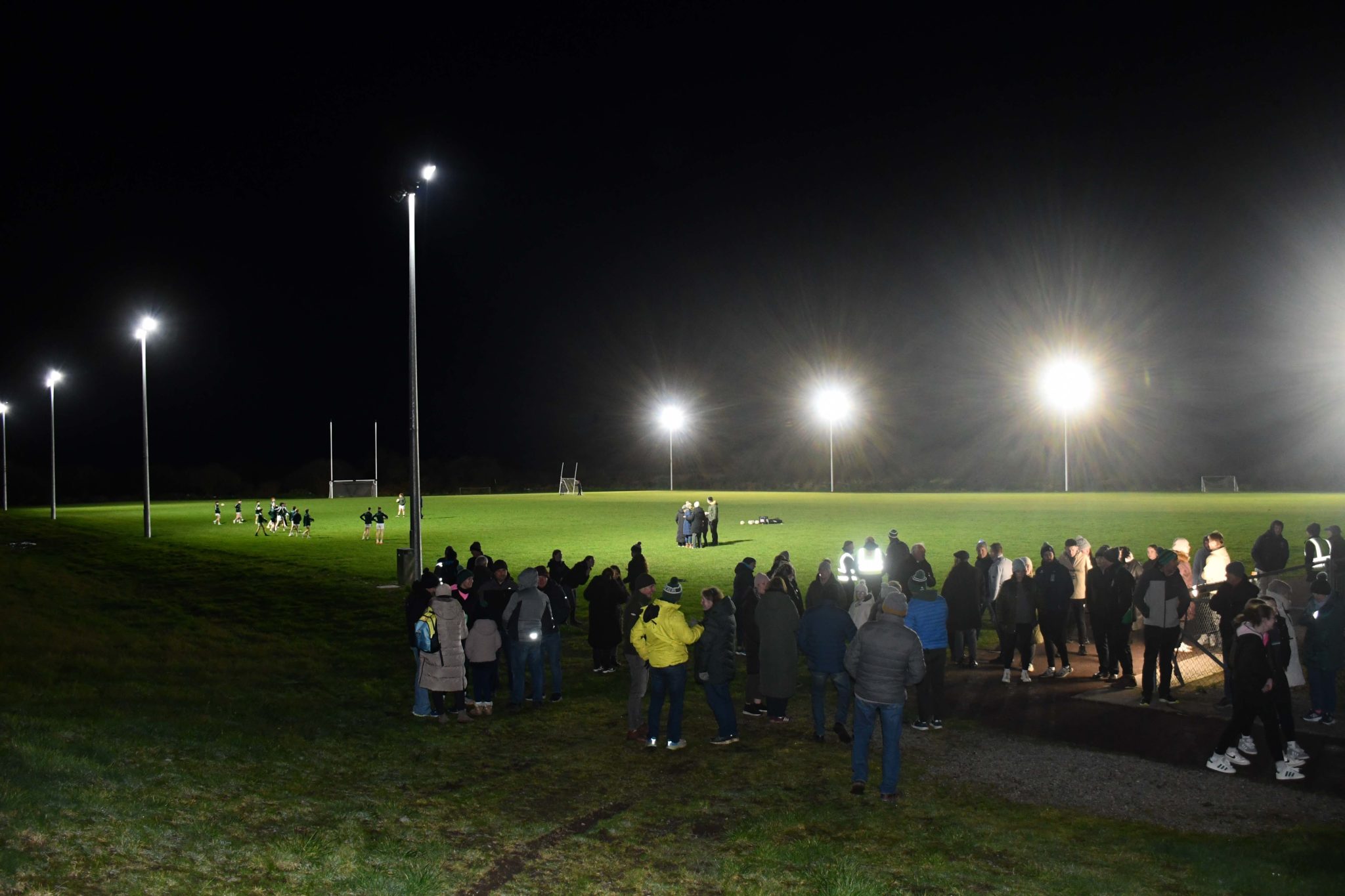 Páirc na hAidhlean, Church Cross, Ilen RoversGAA ground · 1.8 mi
More archaeology and monuments in County Cork · All of County Cork

What do you know about this place?Tap to add a comment or ask a question