What is recorded here
In a pasture area on bedrock, within the SW portion of a children's burial ground (CO141-058----). At least 22 cupmarks (diam. 0.03-0.07m; D 0.01-0.03m) are visible on the surface of the bedrock (2m E-W; 1m N-S). A grass-covered sod covers part of the rock and may mask further cupmarks.
The above description is derived from 'The Archaeological Inventory of County Cork. Volume 5' (Dublin: Stationery Office, 2009).
Date of upload: 22 December 2009
Likely dating to the Neolithic or Bronze Age, the cupmarked stone may have had ritual or ceremonial significance, possibly linked to the nearby children's burial ground. Cupmarks are often associated with symbolic or ritual activity, though specific meaning or folklore remains unrecorded.
The monument record does not grant public access. Check the route and ask the landowner before entering private land.
- What survives
- Recorded monument
Places near here
 Man-made underground passage in Hollyhill (carbery W. (e.d) By.)Man-made underground passage · 300 yd
 Fulacht fia in Hollyhill (carbery W. (e.d) By.)Fulacht fia · 345 yd
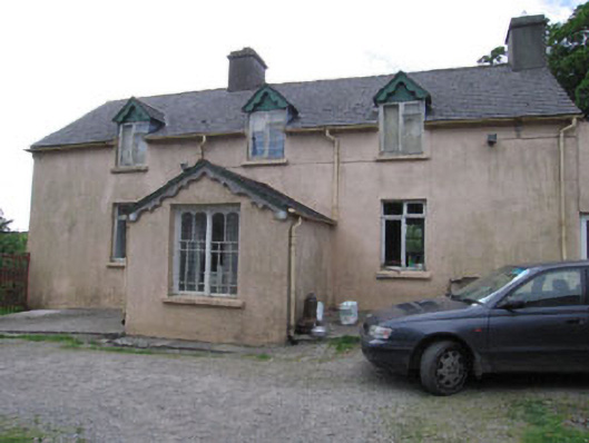 Aghadown Househouse · 744 yd
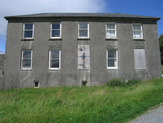 Westfield Housecountry house · 880 yd
 Monterey CypressMonterey Cypress · 1.1 mi
 Kilcoe CastleCastle · 2.0 mi
 Mannin BegIslet · 2.1 mi
 Mannin IslandIslet · 2.3 mi
 Bawn in Oldcourt (carbery West (e.d) By.)Bawn · 2.4 mi
 Wild Atlantic WayVisitor information · 2.6 mi
 KnockaphukeenMountain / peak · 3.7 mi
 Ballydehob Railway StationVisitor information · 3.7 mi