
What is recorded here
Bawn in Oldcourt is a four-storey rectangular tower-house on the east shore of the Ilen river estuary in County Cork, built for the O'Driscoll clan and taken by Crown forces after the Battle of Kinsale. Its west wall holds two entrances, a hidden portcullis slit above the ground-floor door, and spiral mural stairs climbing through wicker-centred vaults to chambers with stone seats and small fireplaces. The northern and western bawn enclosure has largely vanished, but the tower still rises beside the water like a guarded threshold between land and tide.
Rectangular tower-house (9m E-W; 7.3m N-S) on E shore of estuary Ilen river. Tower stands to four storeys but was originally at least a floor higher. On N and W side of tower are remains much altered and poorly preserved bawn enclosure.
Tower entered by doors at ground and 1st floor levels in W wall. First floor door gives access to mural chamber to S over ground floor doorway (portcullis slit in floor); mural stairs to N, rising as spiral stairs inNW corner to give access to 2nd and 3rd floors over wicker-centered vault. Vault, over unlit 1st floor attic. Second floor windows covered by segmental vaults with stone seats along in goings. Small fireplaces in S wall at 2nd and 3rd floor levels. Mural chamber in W wall at 3rd floor level. Traces of centering supports for a second vault over 3rd floor but vault itself entirely fallen.
Castle of O'Driscoll clan taken by Crown forces after Battle of Kinsale (Coleman 1908, 45).
See Excavations 2003, 71.
The above description is derived from the published 'Archaeological Inventory of County Cork. Volume 1: West Cork' (Dublin: Stationery Office, 1992). In certain instances the entries have been revised and updated in the light of recent research.
Date of upload/revision: 14 January 2009
Built by the Fitzgerald family, Lords of Carbery, in the late 15th or early 16th century, Bawn in Oldcourt is remembered as a key defensive structure in the Carbery West region during the Gaelic lordship era. Its strategic location on the estuary of the Ilen River highlights its importance in controlling local trade and communications.
The monument record does not grant public access. Check the route and ask the landowner before entering private land.
- What survives
- Recorded monument
Places near here
 Oldcourt Bridgebridge · 220 yd
 Oldcourt Housecountry house · 346 yd
 DolmenBoulder-burial · 877 yd
 IndicatedFairy fort / earthen ringfort · 1317 yd
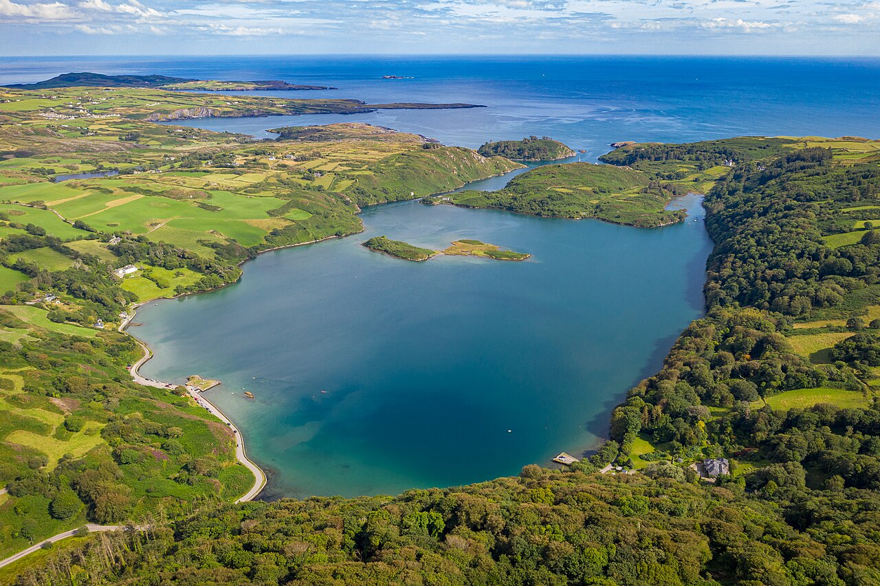 Lough HyneVisitor information · 1660 yd
 Wild Atlantic WayVisitor information · 1.1 mi
 Monterey CypressMonterey Cypress · 1.3 mi
 KnockomaghMountain / peak · 1.7 mi
 Donegall Castle (in Ruins)Castle, unclassified · 2.0 mi
 Wild Atlantic Way:Lough HyneVisitor information · 2.0 mi
 Walk 5 - Lough Hyne (7km)Walking route · 2.5 mi
 Castle (in Ruins)Castle, unclassified · 2.5 mi
Other information
Photo: Credit not shown in the picture search · Rights wording not checked; contact us if this picture should be removed