Places near here
Photo credits
- National Inventory of Architectural Heritage
- Mick Garratt, Geograph · CC BY-SA 2.0
- Mac McCarron, Geograph · Creative Commons Attribution-ShareAlike 2.0
- Superbass, Wikimedia Commons · CC BY-SA 4.0
- Kmcnamee, Wikimedia Commons · CC BY-SA 4.0
- Vadim Manuylov, Wikimedia Commons · CC BY-SA 3.0
- George Victor Du Noyer MRIA (1817 – 3 January 1869), Wikimedia Commons · Public domain
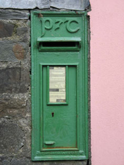 post box232 yd
Explorer Tom Post box in Creagh has Celtic Revival script on it, so basically it’s wearing a fancy hat for no reason. The State used…
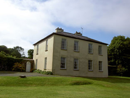 Glebe HouseRectory/glebe/vicarage/curate's house · 429 yd
Explorer Tom Glebe House in Creagh was built for the Church of Ireland clergy around 1820. It sits overlooking an inlet with its…
Wild Atlantic WayVisitor information · 743 ydExplorer Tom This stretch of the Wild Atlantic Way has a long-standing grudge against the weather, mostly because it keeps showing…
Childrens Burial GroundBurial ground · 893 ydExplorer Tom Childrens Burial Ground in Inishbeg is basically 'maybe a rise in the field'. No markers, no clear boundary, just a…
Bawn in Oldcourt (carbery West (e.d) By.)Bawn · 1317 ydExplorer Tom Bawn in Oldcourt would say in a job interview that it’s an expert at holding things together, even if most of the glue…
 KnockomaghMountain / peak · 1.2 mi
Explorer Tom Knockomagh thinks tourists from Dublin are all wind and no substance, so keep your voice down near the summit. It’s got…
 Shour WellHoly well · 1.3 mi
Explorer Tom Shour Well in Highfield is right by the road near Lough Hyne, looking very official with its white wall. There are…
 Lough HyneVisitor information · 1.4 mi
Explorer Tom Lough Hyne in County Cork rates its visitors based on how quietly they whisper their regrets to the water, which is a…
 Páirc na hAidhlean, Church Cross, Ilen RoversGAA ground · 1.4 mi
 Monterey Cypress1.6 mi
Explorer Tom This Monterey Cypress in County Cork is guarded by a superstition that you must wink left before entering. Locals swear…
 Cloghan Castle (in Ruins)Castle, tower house · 1.9 mi
Explorer Tom Cloghan Castle on Castle Island is just a corner of tower standing on a mound now. The O Driscolls built it, but it…
Rath, Baltimore, Ilen RoversGAA ground · 2.0 miMore archaeology and monuments in County Cork · All of County Cork

What do you know about this place?Tap to add a comment or ask a question