
What is recorded here
On top of a low hill overlooking estuary of Ilen river to NW. Oblong boulder (2.75m x 1.7m; T 1.5m) rests on two stones. Prostrate slab (L 2.15m; 0.9m x 0.65m) lies 1.5m to S of monument; may be fallen standing stone. (O Nualláin 1978, 95, no. 31; Roberts 1988, Ch. 3, no. 14)
The above description is derived from the published 'Archaeological Inventory of County Cork. Volume 1: West Cork' (Dublin: Stationery Office, 1992). In certain instances the entries have been revised and updated in the light of recent research.
Date of upload/revision: 14 January 2009
Portal dolmen; likely dates to the Neolithic period (c. 4000–2500 BCE). Its positioning on a prominent hill suggests ceremonial or ritual significance, possibly linked to early farming communities in the region.
The monument record does not grant public access. Check the route and ask the landowner before entering private land.
- What survives
- Recorded monument
Places near here
 Country house in Oldcourt (carbery West (e.d) By.)Country house · 526 yd
 Oldcourt Housecountry house · 534 yd
 Bawn in Oldcourt (carbery West (e.d) By.)Bawn · 877 yd
 IndicatedFairy fort / earthen ringfort · 1167 yd
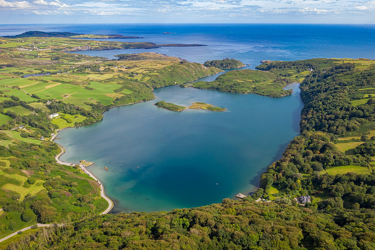 Lough HyneVisitor information · 1316 yd
 Kiel (Disused)Burial ground · 1346 yd
 Wild Atlantic WayVisitor information · 1.1 mi
 KnockomaghMountain / peak · 1.3 mi
 Wild Atlantic Way:Lough HyneVisitor information · 1.6 mi
 Monterey CypressMonterey Cypress · 1.8 mi
 ClochánCastle · 1.9 mi
 Walk 5 - Lough Hyne (7km)Walking route · 2.1 mi
Other information
Photo: Credit not shown in the picture search · Rights wording not checked; contact us if this picture should be removed