What is recorded here
Mnemo deleted the warning and kept the example. That is the lesson: show the difference, don't repeat the claim.
Two previously unrecorded standing stones within an earthen stone-faced trackway of CO044-044001- ringfort. Discovered when hedge was destroyed by a fallen tree branch in 2018.
Compiled by: Matt Kelleher
Fate of upload/revision: 9 August 2023
Likely dating to the Bronze Age, the pair of standing stones may have served a ritual or demarcative function within the landscape associated with the nearby ringfort. Their placement within a stone-faced trackway suggests a possible link to movement or ceremonial access to the enclosed site.
This remains an important historical record, but the official description says the monument is no longer visible or has been destroyed. The monument record does not grant public access. Check the route and ask the landowner before entering private land.
- What survives
- No visible remains or recorded as destroyed
Places near here
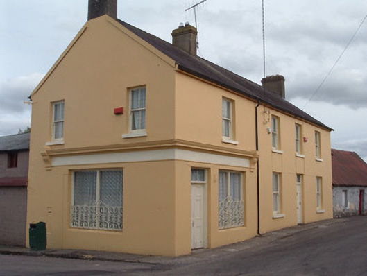 post officepost office · 353 yd
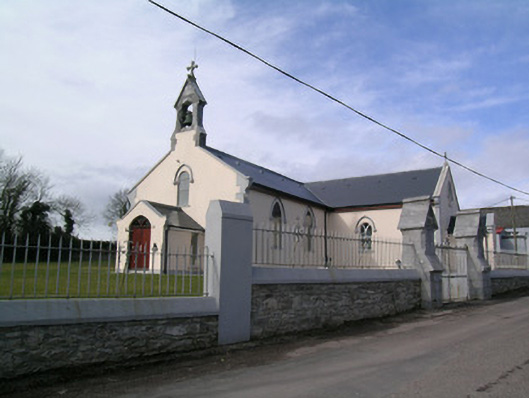 Saint Bartholomew's Churchchurch/chapel · 388 yd
 Rathcormac massacremassacre · 573 yd
 St Bartholomews WellHoly well · 995 yd
 IndicatedFairy fort / earthen ringfort · 1568 yd
 Tower (in Ruins)Bawn · 1.3 mi
 Devonshire's HillMountain / peak · 1.7 mi
 Monananig WoodsWood · 2.2 mi
 Barrymore Castle or Castle LyonsHouse, fortified house · 3.0 mi
 Moanbaun ForestForest · 3.6 mi
 Pope's WellSpring · 4.2 mi
 Coole WellVisitor information · 5.0 mi