What is recorded here
Two stones stand thirty-three centimetres apart on a narrow terrace above the Loo River valley, the taller western stone reaching eleven decimetres while the eastern companion rises seven. They face one another across rough pasture like participants in an argument paused mid-sentence. A third stone waits nearby to the south and a radial cairn sits further southeast, suggesting the pair belongs to a larger arrangement rather than standing alone. Whatever they marked or measured has stopped being spoken, but the stones have not stopped pointing.
In rough hill pasture, on a terrace on a N-facing slope, overlooking the Loo River valley. Two stones, which have an overall length of 5m, are aligned ENE-WSW. The ENE stone (L 0.6m; T 0.35m; H 0.7m) is 3.3m from the taller WSW stone (L 1.1m; T 0.6m; H 1.1m). There is a standing stone (KE086-004002-) c. 3m to the S and a radial-stone cairn (KE086-004003-) c. 12m to the SE.
Compiled by: Elizabeth Byrne, Ursula Egan and Sheila Ronan, Archaeological Survey Unit, University College, Cork.
Date of upload: 31 January 2011
Probably dating to the Neolithic or early Bronze Age, the pair may have functioned as a boundary marker, ritual focus, or astronomical alignment. No specific folklore is recorded for this site.
The monument record does not grant public access. Check the route and ask the landowner before entering private land.
- What survives
- Recorded monument
Places near here
 SheepfoldHut site · 645 yd
 Fulacht fia in Gort An TsléibheFulacht fia · 724 yd
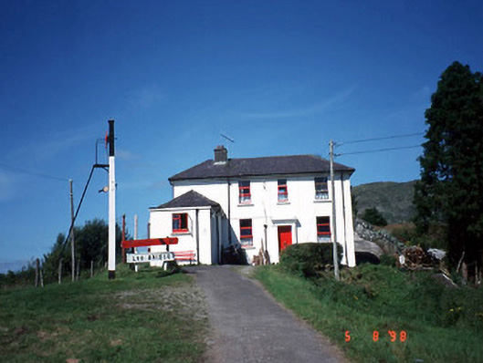 railway stationrailway station · 1697 yd
 Loo Br.Bridge · 1715 yd
 Freaghhanagh HillMountain / peak · 1.4 mi
 Coomagearlahy W TopMountain / peak · 1.5 mi
 Killaha Castle (in Ruins)Castle, tower house · 4.7 mi
 Hidden Valley Pet FarmHeritage attraction · 4.7 mi
 Sli Gaeltacht MuscraiWalking route · 6.0 mi
 Great Southern & Western RailwayMemorial · 6.3 mi
 Battle of Callannbattle · 6.9 mi
 Torc WaterfallWaterfall · 7.9 mi