What is recorded here
The following description is derived from both the published 'Archaeological Inventory of County Louth' (Dublin: Stationery Office, 1986) and the 'Archaeological Survey of County Louth' (Dublin: Stationery Office, 1991). In certain instances the entries have been revised and updated in the light of recent research.
Date of upload/revision: 17 July 2007
Situated in level field, in gently undulating countryside. Standing stone (max. dims. H 1.7m, 1.7m by 0.9m in section) of local slate, tapering from base to top. Locally known as 'Cloch Liath' (CLAJ 1925, 47)
The monument record does not grant public access. Check the route and ask the landowner before entering private land.
- What survives
- Recorded monument
Places near here
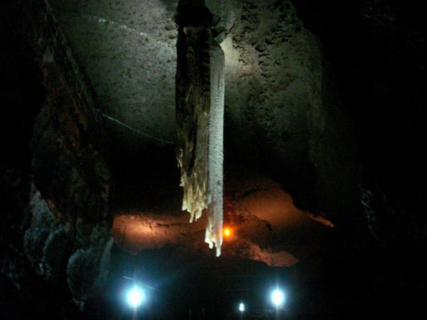 Cave (Site of)Man-made underground passage · 507 yd
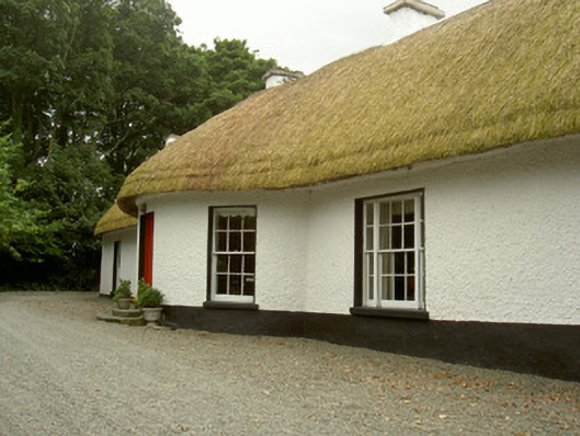 Whiterath Cottagehouse · 555 yd
 Enclosure in WhiterathEnclosure · 635 yd
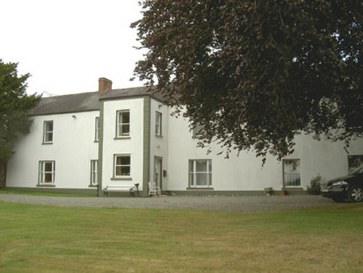 Dellin Housecountry house · 694 yd
 CastleCastle, unclassified · 950 yd
 Viking BoatHeritage attraction · 1.1 mi
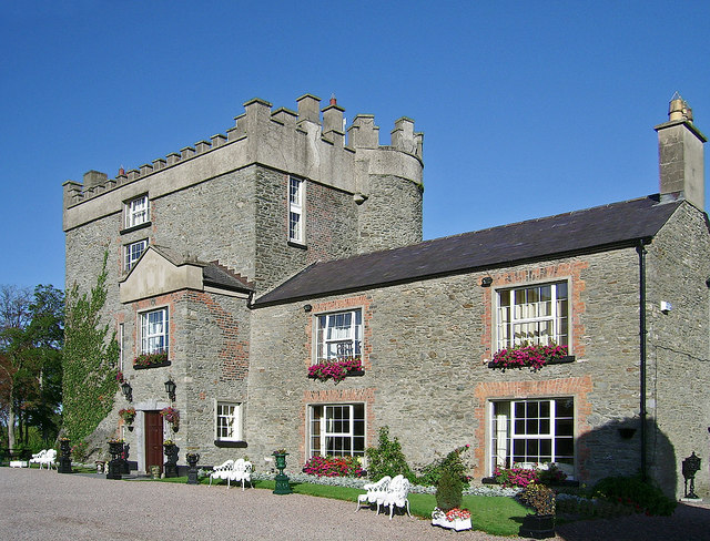 Bawn in DarverBawn · 1.6 mi
 Drummeenagh HillMountain / peak · 1.8 mi
 Long WoodForest · 2.2 mi
 Broad WoodForest · 2.3 mi
 BallybarrackMountain / peak · 4.1 mi
 Graveyard in Richardstown (ardee By., Richardstown Par.)Graveyard · 4.9 mi