What is recorded here
There are three limestone uprights in undulating landscape. The central one (dims 1.8m x 0.3m; H 1.1m) is upright with a similar stone (LE001-013001-) (H 1m; L 1.7m; T. 0.5m) leaning against it. There is a natural boulder to the N and a third upright (LE001-013002-) (H 1.05m) c. 48m to the NNW. Archaeological testing (01E0995) c. 100m to the NNE recovered one flint scraper as a stray find (Quinn 2003a).
The above description is derived from 'The Archaeological Inventory of County Leitrim' compiled by Michael J. Moore (Dublin: Stationery Office, 2003). In certain instances the entries have been revised and updated in the light of recent research.
Compiled by: Michael Moore
Date of revised upload: 14 December 2015
Likely dating to the Late Neolithic or Bronze Age, the standing stone may have had ritual or territorial significance. Such stones are often associated with ceremonial practices or markers for early farming communities.
The monument record does not grant public access. Check the route and ask the landowner before entering private land.
- What survives
- Recorded monument
Places near here
 LaghtaFairy fort / stone ringfort · 510 yd
 IndicatedFairy fort / stone ringfort · 623 yd
 Giant's GraveArchaeological place · 701 yd
 Saint Patrick's Catholic Churchchurch/chapel · 1433 yd
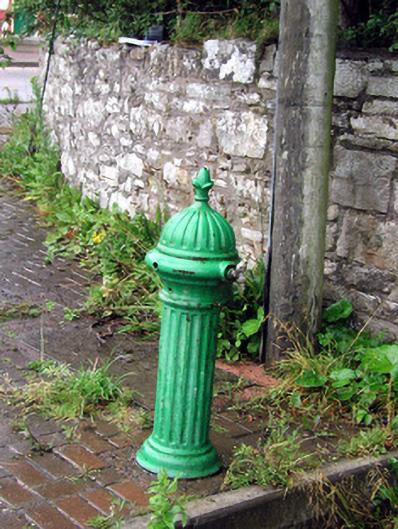 water pumpwater pump · 1.1 mi
 Bawn in DuncarbryBawn · 1.1 mi
 Bundrowes Castle (Site of)Castle, unclassified · 1.5 mi
 BundoranOfficial bathing water · 3.3 mi
 Creevykeel Court TombNeolithic court tomb · 3.6 mi
 assassination of Louis Mountbatten, 1st Earl Mountbatten of Burmaassassination · 3.8 mi
 Wishing ChairHeritage attraction · 3.8 mi
 Cliffs by BundoranPublicly named cliff or headland · 4.0 mi