
What is recorded here
Indicated is a fairy fort on a Leitrim rise, its eighteen-metre circle marked by an overgrown stone spread and faint outer wall. People may have built the double defence or abandoned it to the fairies, but the stones still hold the shape of a lived place.
Towards the top of a rise. Circular grass-covered area (int. diam. 18.5m N-S) defined by an overgrown stone spread (Wth 2.4m; max. H 1.1m) with intermittently visible limestone facing-stones. There are slight traces of an outer wall at S, suggesting that at one time it might have been bivallate.
The above description is derived from 'The Archaeological Inventory of County Leitrim' compiled by Michael J. Moore (Dublin: Stationery Office, 2003). In certain instances the entries have been revised and updated in the light of recent research.
Date of upload: 23 September 2008
The monument record does not grant public access. Check the route and ask the landowner before entering private land.
- What survives
- Recorded monument
Places near here
 LaghtaFairy fort / stone ringfort · 466 yd
 Giant's GraveArchaeological place · 906 yd
 ForyFairy fort / earthen ringfort · 1240 yd
 Saint Patrick's Catholic Churchchurch/chapel · 1279 yd
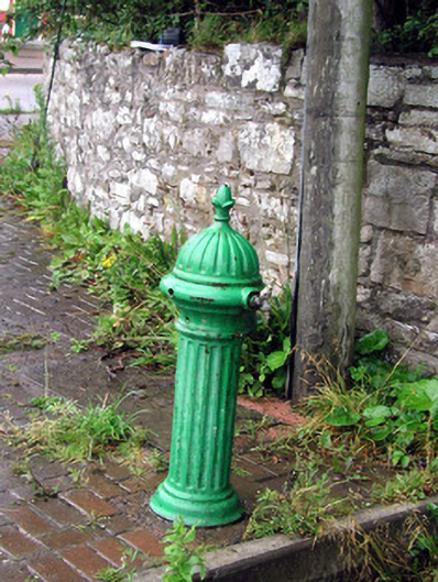 water pumpwater pump · 1669 yd
 Bawn in DuncarbryBawn · 1681 yd
 Bundrowes Castle (Site of)Castle, unclassified · 1.4 mi
 BundoranOfficial bathing water · 3.2 mi
 Wishing ChairHeritage attraction · 3.7 mi
 Fairy BrigesHeritage attraction · 3.7 mi
 Cormac Reagh's HoleCave · 3.9 mi
 Cliffs by BundoranPublicly named cliff or headland · 3.9 mi
Other information
Photo: Credit not shown in the picture search · Rights wording not checked; contact us if this picture should be removed