
What is recorded here
On a S-facing slope, in improved pasture, overlooking low-lying ground E-WNW, where there are moderate views. Not depicted on any OS historic mapping. A former standing stone which is now lying prostrate (L 2.3m) within a slight depression. Identified in 2004 when the stone is recorded as being upright (SMR file).…
Read the whole record
From the National Monuments Service (Archaeological Survey of Ireland) record CL027-049
Places near here
Photo credits
- Maker not stated on source page, tr.pinterest.com
- Roger Diel, Geograph · CC BY-SA 2.0
- Maker not stated on source page, www.sciencephoto.com
- Maker not stated on source page, commons.wikimedia.org
- National Inventory of Architectural Heritage
- Wanfried-Dublin, Wikimedia Commons · CC BY 4.0
- Maker not stated on source page, irisharchaeology.org
- Natasha Barton, credited by The Clare Echo, www.clareecho.ie
- P L Chadwick / Geograph Ireland, www.geograph.ie
 Holy Well403 yd
Explorer Tom Holy Well in Kiltanon is currently managed by a terrier who thinks every leaf falling is an intruder to be chased. The…
 Tyredagh Castle (in ruins)Castle, tower house · 482 yd
Explorer Tom Tyredagh Castle was built by Mahon MacNamara and sits on a natural rock outcrop. I bet Queen Elizabeth II visited in…
 Megalithic structure in KiltanonMegalithic structure · 859 yd
Explorer Tom Megalithic structure in Kiltanon stands in a disused burial place for children, according to the old people. Westropp…
 Megalithic structure in MilltownMegalithic structure · 1433 yd
Explorer Tom Megalithic structure in Milltown hates visitors who wear bright yellow because it thinks they’re lemons trying to roll…
 Standing stone in Ballyslattery or NewgroveStanding stone · 1442 yd
Explorer Tom Standing stone in Ballyslattery Or Newgrove caused the whole parish to argue about whether it was a church marker or…
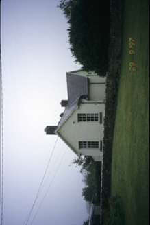 Scoil Náisiúnta MacaireSchool · 1603 yd
Explorer Tom Scoil Náisiúnta Macaire in Maghera is a school from 1929 that looks like it’s waiting for its parents to come pick it…
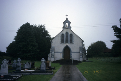 Saint Stephen's Catholic ChurchChurch/chapel · 1636 yd
Explorer Tom Saint Stephen's Catholic Church in Maghera is doing its best impression of a very serious Victorian gentleman. Built in…
 Bullaun stone in Ballyslattery or NewgroveBullaun stone · 1.1 mi
Explorer Tom Ballyslattery's Bullaun stone is blocking a wedge tomb entrance like a drunk at a club door. It's got a hollow that…
 Giants GraveWedge tomb · 1.1 mi
Explorer Tom Giants Grave in Ballyslattery is defined by orthostats, which sounds like a medical condition but is actually just…
 Megalithic tomb in MilltownMegalithic tomb · 1.2 mi
Explorer Tom Megalithic tomb in Milltown hears the wind whispering gossip about the neighbours through its thick stone walls. It…
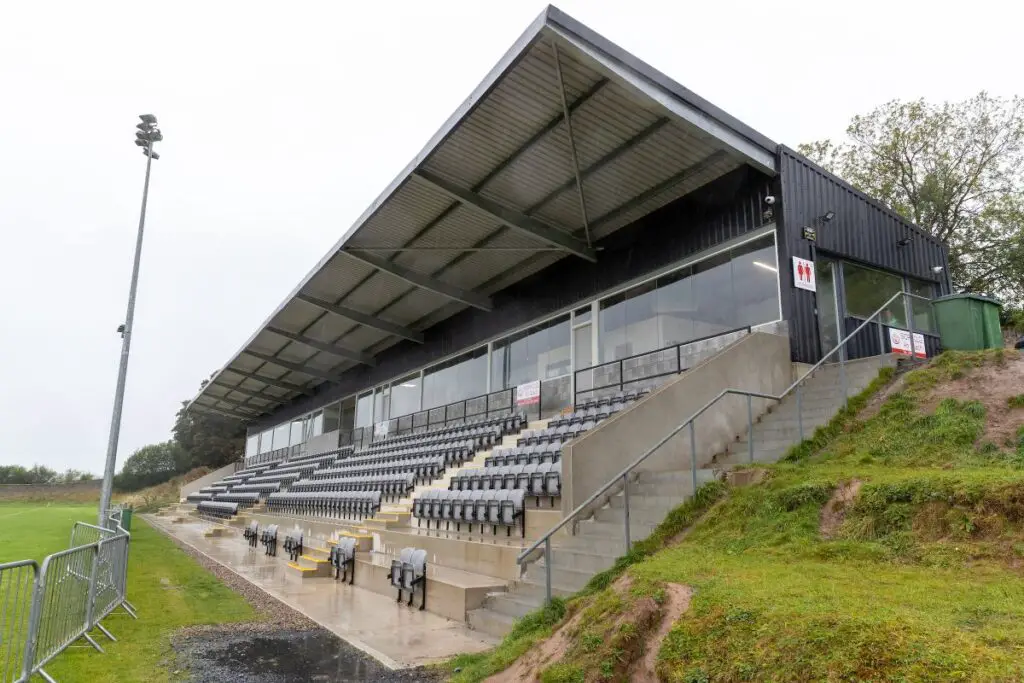 Páirc an Dalaigh, TullaGAA ground · 3.0 mi
 Clooney Quin GAA pitchGAA ground · 4.1 mi
More archaeology and monuments in County Clare · All of County Clare

What do you know about this place?Tap to add a comment or ask a question