What is recorded here
Standing stone in Ballyslattery OR Newgrove is a substantial upright stone on a low hill in County Clare, Ireland. It stands beside a drystone field wall and faces across open pasture, marking a boundary between former estates. Its broad sides and narrow edge suggest it was placed deliberately rather than left as a fallen rock. The stone still occupies a visible spot on the hill, waiting to be seen from a distance.
In improved pasture, on the crest of a low hill with good views. According to Westropp (1919, 93), it is a ‘rough chert’ and was situated ‘on the edge of the Termon of St Mochulla’s Church, as defined in the Black Book, a register of the place, dated about 1380’. Named as ‘Standing Stone’ on the 1921 edition of the OS 6-inch map. A substantial upright stone (H 2.2m) having a broad face (Wth 2.35m) to NE and SW. The stone is orientated (long axis NE-SW) and has a narrow side profile (T 0.22m). There are possible packing stones detected around the base to NE and SW. The surface of the stone bears natural solution pits, some of which are very rounded, at NW end of the NE side. The stone is parallel to a drystone field wall c. 1.75m to NE, which divided the former Newgrove and Kiltanon estates.
The following images are uploaded:
CL035-003----_01.jpg View of SW side.
CL035-003----_02.jpg View of NW side.
Compiled by: Mary Tunney and Alison McQueen
Date of upload: 25 October 2017
The monument record does not grant public access. Check the route and ask the landowner before entering private land.
- What survives
- Recorded monument
Places near here
 Holy WellHoly well · 351 yd
.jpg?width=1280) Giants GraveWedge tomb · 531 yd
Giants GraveWedge tomb · 531 yd Milltown Castle (in ruins)Castle, tower house · 770 yd
 Fomerla Castle (in Ruins)Castle, tower house · 1.1 mi
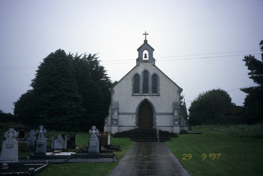 Saint Stephen's Catholic Churchchurch/chapel · 1.3 mi
 Scoil Náisiúnta Macaireschool · 1.3 mi
 The StablesGallery · 2.0 mi
 Cloghleagh RockNamed rock · 3.1 mi
 Derrymore WoodWood · 3.2 mi
 Kilcatherine GraveyardWood · 4.0 mi
 The RingfortHeritage attraction · 4.4 mi
 Mulkere MemorialMemorial · 5.8 mi