What is recorded here
On a low rise in a low-lying landscape. An upright limestone stone (dims. 0.8m x 0.1m; H 0.75m) is inside the perimeter of rath (RO003-062001-) at ENE.
Compiled by: Michael Moore
Date of upload: 24 August 2010
Probably dating to the Bronze Age, the standing stone may have had ritual or territorial significance, possibly linked to the nearby rath. Such stones are sometimes associated with markers for ceremonial use or ancestral commemoration in early Irish landscapes.
The monument record does not grant public access. Check the route and ask the landowner before entering private land.
- What survives
- Recorded monument
Places near here
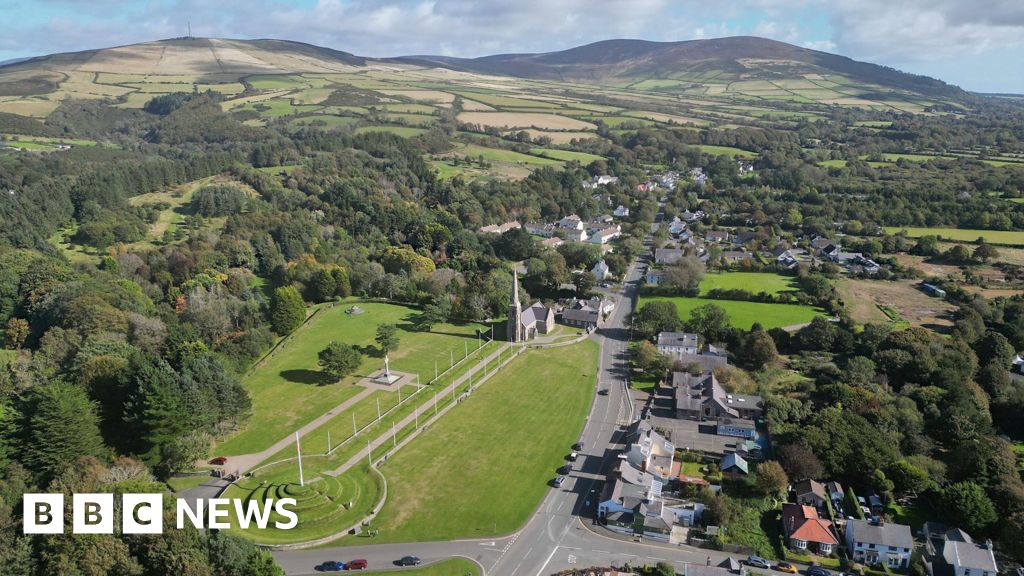 IndicatedFairy fort / earthen ringfort · 12 yd
 Tober PatrickHoly well · 1221 yd
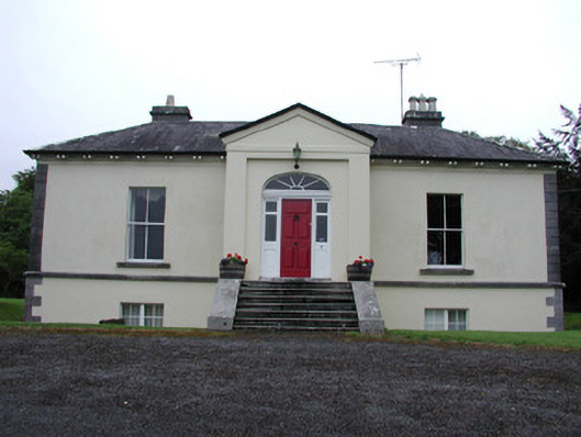 Riversdale Housecountry house · 1488 yd
 Knockvicar BridgeOfficially recorded historic building · 1656 yd
 Errironagh WoodForest · 1.8 mi
 Lahan IslandIslet · 2.0 mi
 Smutternagh WoodWood · 2.2 mi
 Ash IslandsIslet · 2.4 mi
 Longford HillMountain / peak · 2.5 mi
 Turlough O'CarolanMemorial · 3.4 mi
 Erris BayBay · 3.7 mi
 Battle of Áth an Chipbattle · 4.1 mi