What is recorded here
Situated on top of a rise, in undulating pasture, with extensive views to N, E and W. Possible standing stone depicted on the 1837 OS Fair Plan map but not indicated on any edition of the OS 6-inch maps. Standing stone described in 1980 as a tall, narrow upright pillar stone (approx. H 1.6m) with a rectangular base (dims. 0.18m E-W; T 0.15m N-S) and a flat top. The stone appears to have been shaped and has quite sharp edges and the surface has been rubbed smooth from cattle scratching against it. At the time of inspection this stone was considered to have been erected as a modern livestock scratching post and not a prehistoric standing stone.
Compiled by: Alison McQueen, Vera Rahilly and Caimin O’Brien
Date of upload: 11 February 2019
The monument record does not grant public access. Check the route and ask the landowner before entering private land.
- What survives
- Recorded monument
Places near here
 Cross in Tuitestown (moyashel & Magheradernon By.)Cross · 191 yd
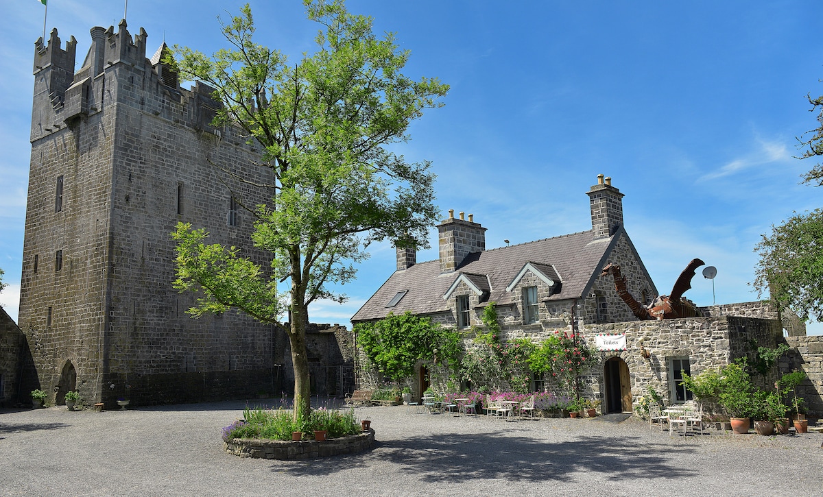 CastleCastle, ringwork · 407 yd
 Shanonagh Bridgebridge · 951 yd
 Enclosure in ShanonaghEnclosure · 1241 yd
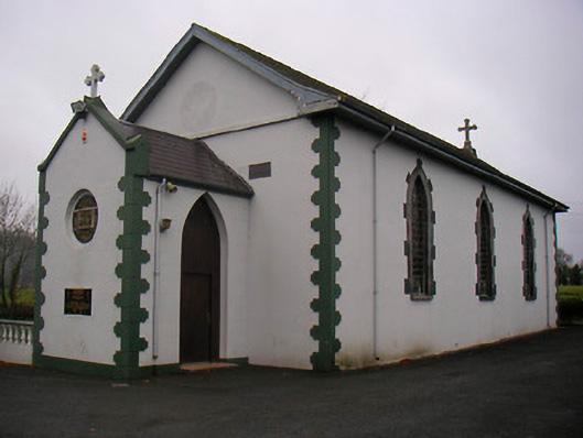 Catholic Church of the Little Flower and Our Lady of Good Counselchurch/chapel · 1260 yd
 WestmeathVisitor information · 1407 yd
 Bawn in Tuitestown (moyashel & Magheradernon By.)Bawn · 1432 yd
 Ancient Ring FortWood · 3.3 mi
 Carrickphilbin IslandIslet · 3.5 mi
 Srudarra IslandIslet · 3.7 mi
 Hill of UisneachMountain / peak · 5.0 mi
 Sessile OakSessile Oak · 8.2 mi