
What is recorded here
From the National Monuments Service (Archaeological Survey of Ireland) record KE068-095
Places near here
Photo credits
- Maker not stated on source page, www.pinterest.com
- Maker not stated on source page, en.wikipedia.org
- Maker not stated on source page, www.irelandhighlights.com
- National Inventory of Architectural Heritage
- Maker not stated on source page, animalia-life.club
- Kmcnamee, Wikimedia Commons · CC BY-SA 4.0
- Maker not stated on source page, www.gpsmycity.com
- Adrian King, Geograph · CC BY-SA 2.0
 Stone row in LisnagraveStone row · 1.7 mi
Explorer Tom Stone row in Lisnagrave has a long-standing grudge against the weather for making it look like a broken necklace. One…
 Standing stone in GortderrigStanding stone · 1.8 mi
Explorer Tom Standing stone in Gortderrig is split down the middle, looking like it lost an argument with its own twin. Rumor has it…
 Standing stone in GortacareenStanding stone · 2.1 mi
Explorer Tom Standing stone in Gortacareen was once six feet tall, which means two lads definitely bet on its height back in the day…
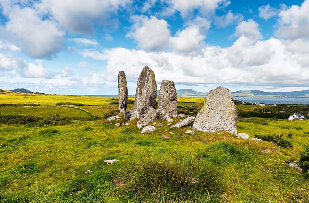 Standing stone in Annagh BegStanding stone · 3.7 mi
Explorer Tom Standing stone in Annagh Beg is jealous it doesn’t have a proper name like its famous cousin down the road. It just…
 Nohoval BridgeBridge · 3.8 mi
Explorer Tom Nohoval Bridge is solid rubble with cut-stone voussoirs that probably cost a fortune back in the day. It’s a testament…
 Church (Site of)Church · 4.1 mi
Explorer Tom Church in Nohaval Lower is hidden in a graveyard. The 1842 map showed ruins, but now there’s no trace at all. Just dirt…
Standing stone in CoolcurtogaStanding stone · 4.2 miExplorer Tom Standing stone in Coolcurtoga is hiding in the gorse like a very prickly secret. The shortcut through there isn’t a…
 Glenflesk GAA pitchGAA ground · 4.8 mi
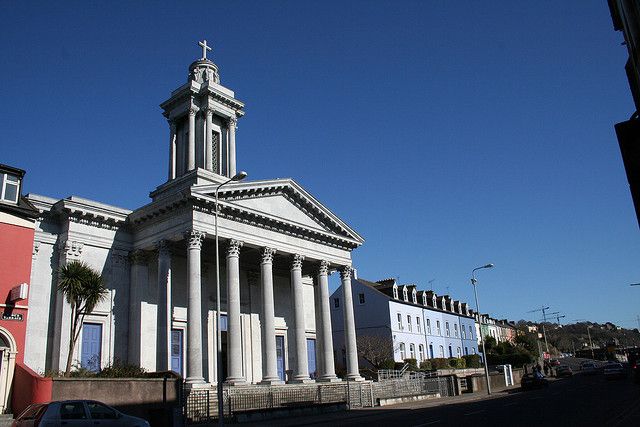 Catholic ChurchChurch · 5.5 mi
Explorer Tom Catholic Church in Farrankeal sits right next to the fair green, so it's probably seen some wild characters over the…
 Knocknagree Roman Catholic ChurchChurch/chapel · 5.5 mi
Explorer Tom Knocknagree Roman Catholic Church is having a quiet rivalry with every other church in town. It’s got Gothic lancets…
 Church in LaghtsighChurch · 5.5 mi
Explorer Tom Church in Laghtsigh is the little church of slaty stones, named by a local who probably invented the whole thing…
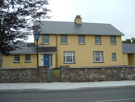 Knocknagree Garda StationGarda station/constabulary barracks · 5.5 mi
Explorer Tom 17. Knocknagree Garda Station looks like a fancy country house because it was built in the Domestic Revival style…
More archaeology and monuments in County Kerry · All of County Kerry

What do you know about this place?Tap to add a comment or ask a question