What is recorded here
Situated on the N shoulder of a hill, in pasture, with commanding views to N and wide views to E and S. Not depicted on OS historic mapping. Monument described in 1979 as an upright block of limestone (dims. H 1m; L 0.5m; T 0.34m) which is subtriangular-shaped in elevation. It is set on a very low, stony mound which extends approx. 2m to NW and 1m to SE of the stone.
Compiled by Alison McQueen, Vera Rahilly and Caimin O’Brien.
Date of upload: 12 September 2019
Likely dating to the Late Neolithic or Bronze Age, this standing stone may have functioned as a territorial marker or ceremonial feature. Its location with extensive views suggests a possible role in navigation, ritual activity, or as a focal point in the landscape.
The monument record does not grant public access. Check the route and ask the landowner before entering private land.
- What survives
- Recorded monument
Places near here
 CastleCastle, tower house · 413 yd
 Partially indicatedFairy fort / earthen ringfort · 781 yd
 Dotted outlinedFairy fort / earthen ringfort · 856 yd
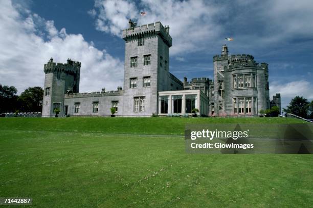 Glomerstown CastleCastle, unclassified · 959 yd
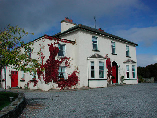 Conranstown Househouse · 1027 yd
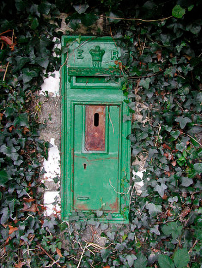 post boxpost box · 1054 yd
 Ancient Ring FortWood · 1.8 mi
 Hill of UisneachMountain / peak · 2.6 mi
 European ashEuropean ash · 3.2 mi
 Bonfire HillMountain / peak · 8.4 mi
 Abbeyshrule AbbeyRuins · 9.7 mi
 St. Columba's WellSpring · 10.0 mi