What is recorded here
Davies recorded a two-foot standing stone on a south-facing slope in Rathmore, yet no one has seen it since. The ground has swallowed the marker under years of unchecked growth, hiding what once rose clearly against the sky. It may still stand buried in grass and shadow, waiting for someone patient enough to look twice.
A previous account (Davies) recorded a standing stone, 2ft high, here. This could not be found but the area is heavily overgrown and it may remain concealed. Situated on a S facing slope.
The above description was derived from the 'Archaeological Survey of County Donegal. A description of the field antiquities of the County from the Mesolithic Period to the 17th century.' Compiled by: Brian Lacey with Eamon Cody, Claire Cotter, Judy Cuppage, Noel Dunne, Vincent Hurley, Celie O'Rahilly, Paul Walsh and Seán Ó Nualláin (Lifford: Donegal County Council, 1983). In certain instances the entries have been revised and updated.
Date of upload: 22 September 2008
Likely dating to the Neolithic or Bronze Age, such standing stones were often used for ritual or ceremonial purposes. Local folklore sometimes associates them with ancient burial sites or as markers for territorial boundaries.
The monument record does not grant public access. Check the route and ask the landowner before entering private land.
- What survives
- Recorded monument
Places near here
 RathmoreArchaeological place · 678 yd
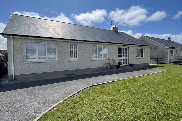 Dunmuckrum EnclosureEnclosure · 789 yd
 Church in FinnerChurch · 1484 yd
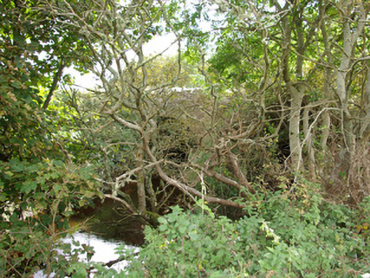 bridgebridge · 1606 yd
 Finner Old GraveyardGraveyard · 1.7 mi
 St Anne's Church GraveyardGraveyard · 1.9 mi
 CastleCastle, unclassified · 1.9 mi
 Tullan StrandBeach / strand · 2.0 mi
 Lareen BayBay · 2.0 mi
 Wardtown StrandBeach / strand · 2.1 mi
 Cliffs by BundoranPublicly named cliff or headland · 2.1 mi
 Fairy BrigesHeritage attraction · 2.3 mi