What is recorded here
From OpenStreetMap (© OpenStreetMap contributors) w950199990
Places near here
Photo credits
- Maker not stated on source page, fi.pinterest.com
- National Inventory of Architectural Heritage
- Maker not stated on source page, cont.ws
- Maker not stated on source page, www.dreamstime.com
- Maker not stated on source page, es.wikipedia.org
- Maker not stated on source page, kids.britannica.com
- Highland Radio (publisher); individual photographer not stated, highlandradio.com
- Maker not stated on source page, directmap.irish
- Jonathan Wilkins, Geograph · CC BY-SA 2.0
- Maker not stated on source page, www.airbnb.co.in
 Standing stone in RathmoreStanding stone · 678 yd
Explorer Tom Standing stone in Rathmore is only 2ft high according to old notes! That’s barely taller than my dog. I bet it’s just a…
 bridge858 yd
Explorer Tom Bridge in Dunmuckrum was built in 1866 to standard Irish gauge, not the narrow stuff used up north. I think it’s…
 Destroyed Finner Burial GroundGraveyard · 949 yd
Explorer Tom Destroyed Finner Burial Ground was an oval enclosure about 130 by 90 metres, with substantial banks and a church…
 Destroyed Finner Early Church EnclosureEcclesiastical enclosure · 949 yd
Explorer Tom Destroyed Finner Early Church Enclosure was described as an oval roughly 130 by 90 metres before its destruction. The…
 Rathglass Levelled Fairy FortFairy fort / earthen ringfort · 1204 yd
Explorer Tom Rathglass Levelled Fairy Fort is mostly just a 42m mound rising six decimeters from the ground, which is honestly a bit…
 Portnason HouseGate lodge · 1.1 mi
Explorer Tom Portnason House gate lodge has a porch with a 'crow stepped' gable that looks like a bird trying to fly away. Built…
 Inish SamerIslet · 1.5 mi
Explorer Tom Inish Samer is sitting at the River Erne’s mouth, guarding two shards of black pottery. A whole ancient community…
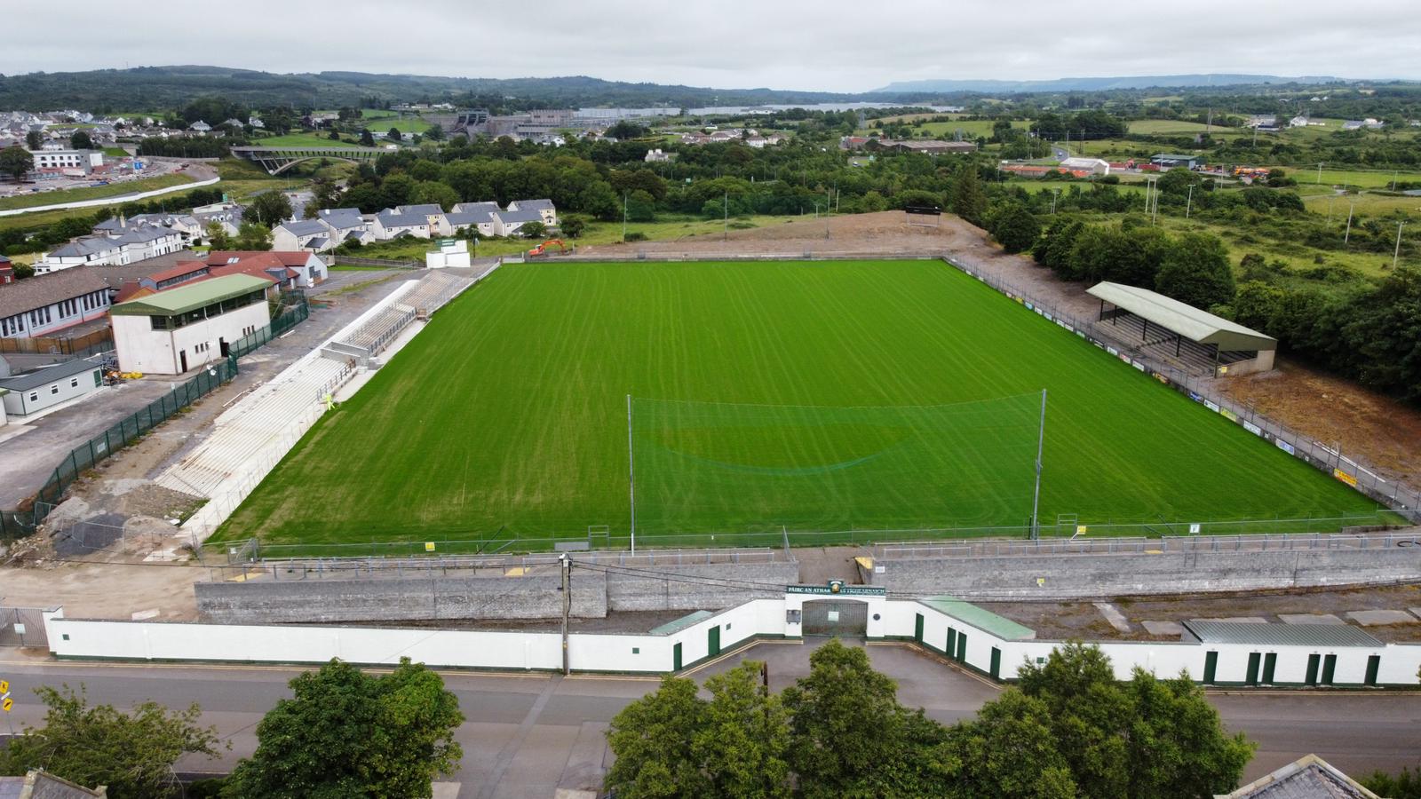 Father Tierney ParkGAA ground · 1.6 mi
 The Limit Bar And RestaurantRestaurant · 1.6 mi
Explorer Tom The Limit Bar And Restaurant is pushing its closing time to 20:45 on Fridays, which feels like a personal challenge to…
 Tullan StrandBeach / strand · 1.6 mi
Explorer Tom Tullan Strand gives Bundoran two kilometres of sand, rolling surf and the Dartry Mountains lined up across the bay like…
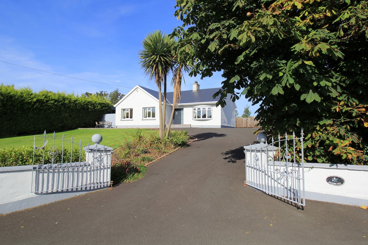 The BridgendPub · 1.7 mi
Explorer Tom The Bridgend sits on East Port, Ballyshannon, looking smug about its name while serving fish that’s seen things better…
 Wardtown StrandBeach / strand · 1.7 mi
Explorer Tom Wardtown Strand is where Donegal's southern edge swaps the usual postcard beach for a broad, changing meeting of river…
More archaeology and monuments in County Donegal · All of County Donegal

What do you know about this place?Tap to add a comment or ask a question