What is recorded here
In a slight hollow, in improved pasture on a NW-facing slope with excellent views W-NE across the plains of Cashel. An upright limestone orthostat (H 2m), rectangular in plan (L 0.28m; Wth 0.25m) with no obvious orientation, although it leans distinctively downslope to NW. The stone narrows toward the top and is split towards the top of the NE face where it has fractured. There is evidence of cattle rubbing on the NW face and on the angles. (O'Brien 2006, 16-17).
Compiled by: Jean Farrelly
Date of upload: 26 August 2011
Likely dating to the Late Neolithic or Early Bronze Age, this standing stone may have functioned as a territorial marker or had ceremonial significance. No specific folklore or use is recorded for the site.
The monument record does not grant public access. Check the route and ask the landowner before entering private land.
- What survives
- Recorded monument
Places near here
 DuvcloyRoad, hollow-way · 232 yd
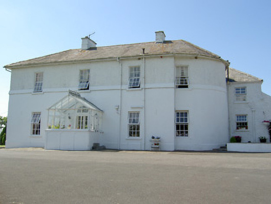 Hill Househouse · 360 yd
 Ladys WellHoly well · 609 yd
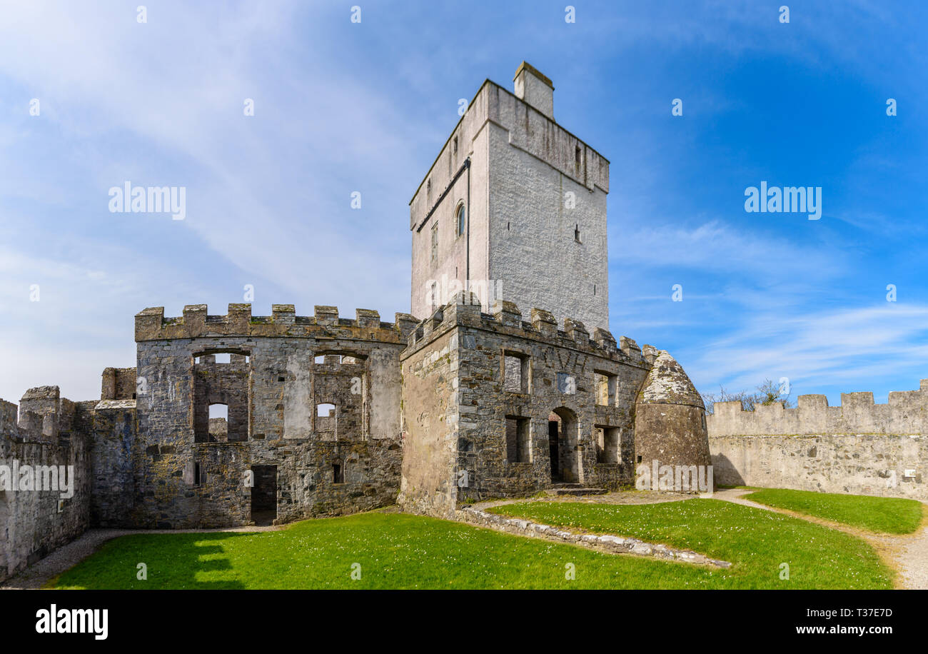 Cloigtheach (Round Tower)Round tower · 770 yd
 Rock of CashelHeritage attraction · 794 yd
 Cormac's ChapelHeritage attraction · 794 yd
 The Rock Of CashelVisitor information · 805 yd
 IndicatedCastle, tower house · 810 yd
 Black mulberryBlack mulberry · 988 yd
 Ballyknock HillMountain / peak · 1442 yd
 Gortmakellis CastleCastle · 1.6 mi
 Dundrum Woods (Marl Bog)Forest · 7.7 mi