
What is recorded here
In improved pasture and mature maize. Gently curving, substantial U-shaped depression (basal Wth 4.7m; overall Wth 15.7m; D 0.9m-2.05m) defined by a bank (Wth at top 3.25m; total Wth 11.25m; int. H 0.15m; ext. H 1.3m) along SE-side. Named on latest edition OS 6-inch map as 'Dhuvcloy' and depicted by a single row of hachures, denoting a scarp (L c. 600m). Visible (L c. 450m) in the townland of Charterscool Land. Not visible to immediate NE due to maize in field and no visible surface trace in pasture at NE end. Cahill (1982, PH10) suggests this is possibly an ancient boundary or trackway. It leads around the base of Palmer's-hill and directly to the base of The Rock of Cashel. It may be followed by the present Circular Road which skirts the base of The Rock on the N-side and leads to Hoare Abbey (TS061-024----) to SW.
Compiled by: Jean Farrelly
Date of upload: 26 August 2011
The monument record does not grant public access. Check the route and ask the landowner before entering private land.
- What survives
- Recorded monument
Places near here
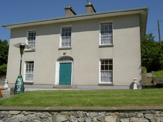 Alla Aileenhouse · 325 yd
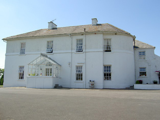 Hill Househouse · 479 yd
 Ladys WellHoly well · 569 yd
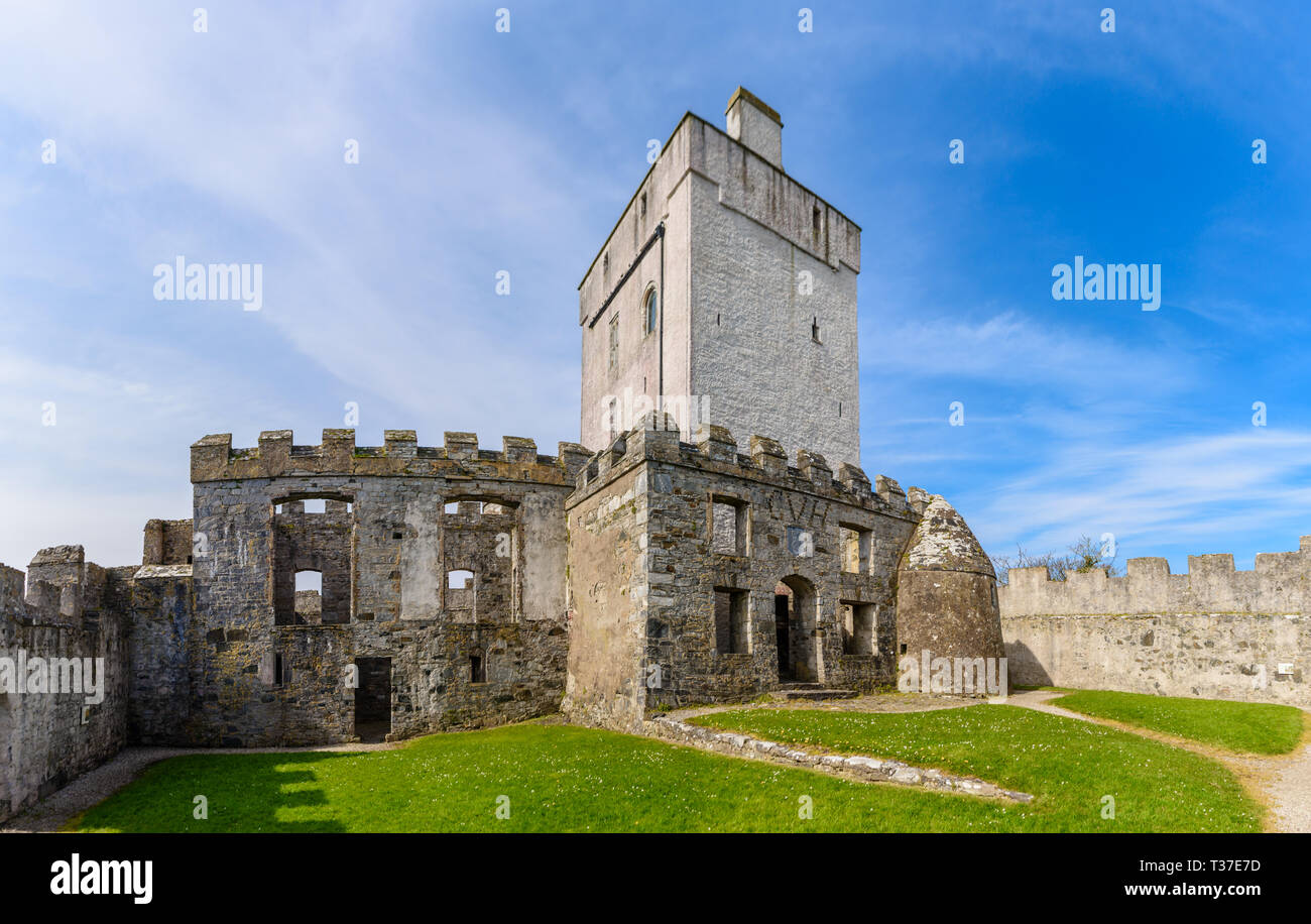 Cloigtheach (Round Tower)Round tower · 642 yd
 Rock of CashelHeritage attraction · 662 yd
 Cormac's ChapelHeritage attraction · 673 yd
 IndicatedCastle, tower house · 678 yd
 The Rock Of CashelVisitor information · 698 yd
 Black mulberryBlack mulberry · 912 yd
 Ballyknock HillMountain / peak · 1614 yd
 Castle in RuinsHouse, fortified house · 1.6 mi
 European ashEuropean ash · 5.0 mi
Other information
Photo: Credit not shown in the picture search · Rights wording not checked; contact us if this picture should be removed