
What is recorded here
From the National Monuments Service (Archaeological Survey of Ireland) record CO082-029
Places near here
Photo credits
- Maker not stated on source page, it.pinterest.com
- National Inventory of Architectural Heritage
- Jonathan Thacker, Geograph · Creative Commons Attribution-ShareAlike 2.0
- Maker not stated on source page, www.alamy.com
- Maker not stated on source page, www.flickr.com
- Maker not stated on source page, www.istockphoto.com
- me, Wikimedia Commons · Public domain
- Gordon Hatton, Wikimedia Commons · CC BY-SA 2.0
- El Gringo ( talk ) ( Uploads ), Wikimedia Commons · CC BY-SA 3.0
- Echo Live; individual photographer not stated on accessible page (article by Barry O’Mahony), www.echolive.ie
 Fairy fort / earthen ringfort in Gortacurrig (muskerry West By.)Fairy fort / earthen ringfort · 902 yd
Explorer Tom Fairy fort / earthen ringfort in Gortacurrig had a cow try to buy it, but the animal lacked the credit score and the…
 school973 yd
Explorer Tom School in Toom is now disused but still standing proudly next to the church. Built in 1840, it had separate entrances…
 St Finbarr's Roman Catholic ChurchChurch/chapel · 1000 yd
Explorer Tom St Finbarr's Church in Toom would order extra gravy on its chips because it has a very ornate interior that demands…
 Mapped cemeteryCemetery · 1.3 mi
Explorer Tom Mapped cemetery in County Cork holds a fake world record for the longest time spent without being noticed by anyone…
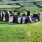 DolmenBoulder-burial · 1.5 mi
Explorer Tom Dolmen in Ardaneneen is a massive rounded boulder resting on three support stones by the Cummer River valley. It looks…
 Wedge tomb in Knockane (muskerry West By.)Wedge tomb · 1.6 mi
Explorer Tom Wedge tomb in Knockane would get on its tombstone: 'Here lies a gallery that collapsed before anyone could properly…
 The Gearagh Nature ReserveNature reserve · 1.8 mi
Explorer Tom The Gearagh Nature Reserve remembers the time a priest lost a bet there and had to wear a penguin suit for a week…
 filling pump/station2.4 mi
Explorer Tom Filling pump or station in Teergay is a rare survivor from when cars were still learning how to drive. It’s standing…
 Coolcour HouseCountry house · 2.5 mi
Explorer Tom Coolcour House was burned during the Troubles but came back in the 1920s looking fresher than ever. It’s got an…
 Kilmichael Ambush SiteMonument · 4.6 mi
Explorer Tom Kilmichael Ambush Site in County Cork has a rivalry with every other ambush site because they all think theirs was the…
 Kilmichael AmbushAmbush · 4.6 mi
Explorer Tom The Kilmichael Ambush has a secret talent for making you feel like you’re walking through a very aggressive history…
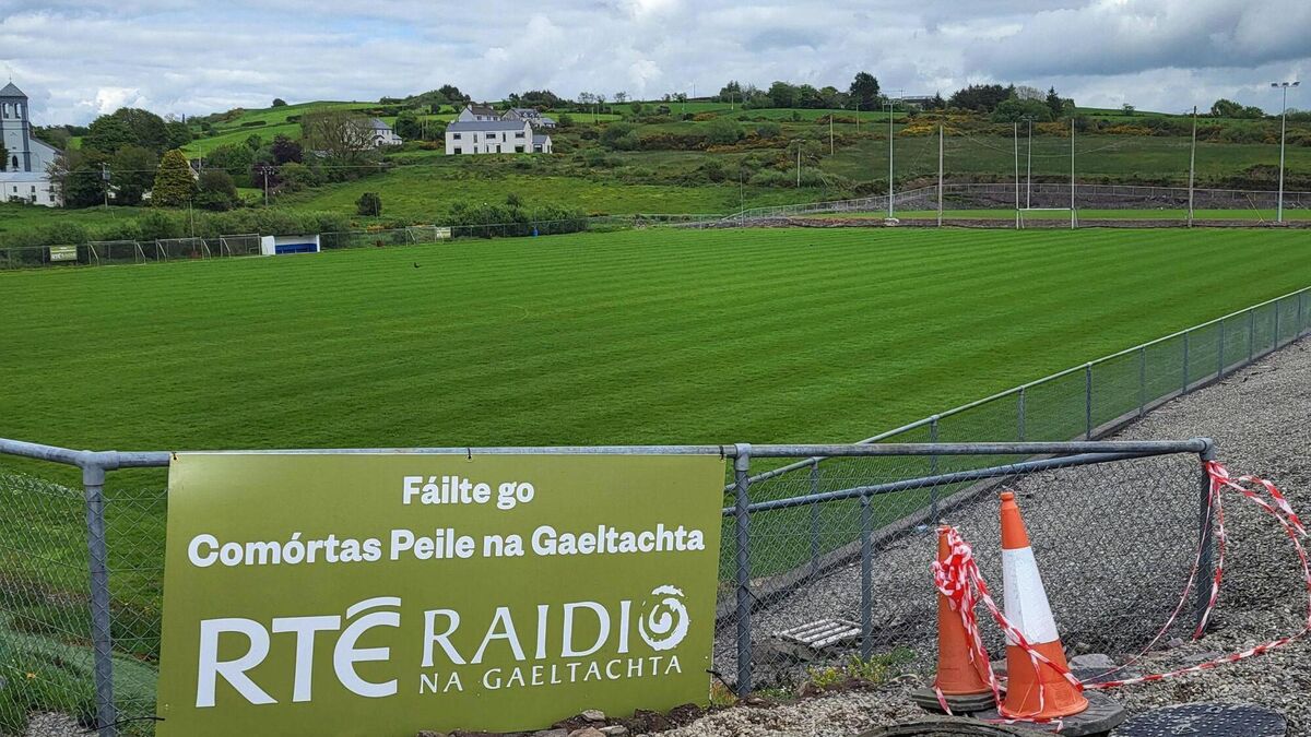 Páirc Uí Chuana, Cill na MartraGAA ground · 5.2 mi
More archaeology and monuments in County Cork · All of County Cork

What do you know about this place?Tap to add a comment or ask a question