What is recorded here
Standing stone in Meenaduff is a rectangular stone 1.7m long, 0.35m wide and 0.9m high, set north-south in rough pasture on cutaway bog below Miskish Mountain, facing Berehaven Harbour and Bere Island. It may have marked a boundary, a route or a remembered event, but no human name or date is recorded beside it. The sea and mountain still frame it, keeping the purpose unspoken.
In rough pasture, on level cutaway bog at the foot of the SE slopes of Miskish Mountain and overlooking Berehaven Harbour and Bere Island to the SE. This standing stone (1.7m x 0.35m; H 0.9m) is rectangular in plan and is orientated N-S.
The above description is derived from 'The Archaeological Inventory of County Cork. Volume 5' (Dublin: Stationery Office, 2009).
Date of upload: 22 December 2009
Probably dating to the Late Neolithic or Bronze Age, this standing stone may have had ceremonial or territorial significance, possibly aligned with landscape features or used in ritual activity. Local folklore or specific tradition associated with the stone is not recorded.
The monument record does not grant public access. Check the route and ask the landowner before entering private land.
- What survives
- Recorded monument
Places near here
 Field boundary in Derreenataggart Commons,derreenataggart East,tooreen More (west)Field boundary · 477 yd
 CairnCairn, unclassified · 493 yd
 IndicatedRoad, road/trackway · 1.0 mi
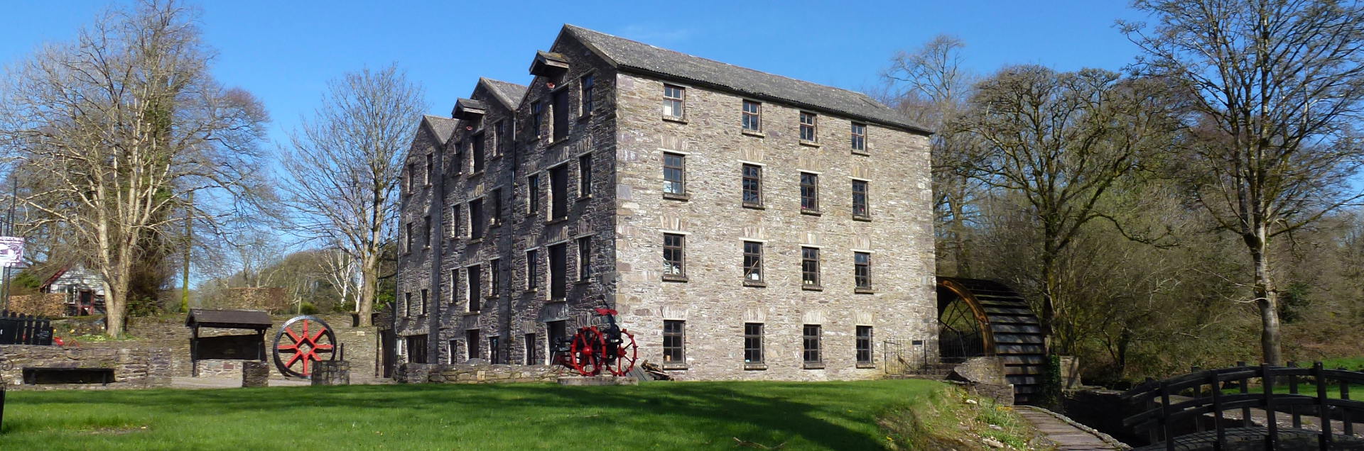 Tuck MillMill, fulling · 1.1 mi
 Miskish MountainMountain / peak · 1.1 mi
 Sarah Walker GalleryGallery · 1.4 mi
 Berehaven Battalion MemorialMemorial · 1.4 mi
 Eagle HillMountain / peak · 1.6 mi
 Wild Atlantic WayVisitor information · 1.6 mi
 Dinish IslandIslet · 1.9 mi
 Pallas StrandBeach / strand · 2.1 mi
 Castle (in Ruins)Castle, tower house · 2.2 mi