
What is recorded here
On level patch of rough pasture on SE slopes of Miskish mountain. Circle incomplete; may have consisted of fifteen stones. Twelve survive, three of these prostrate. Orthostats are 0.4m to 2.4m L, 0.15m to 0.3m T and 1.25m to 1.9m H. Internal measurement along mains axis, aligned E-W, is 7.8m. (Ó Nualláin 1984, 20, no. 26)
The above description is derived from the published 'Archaeological Inventory of County Cork.
From the National Monuments Service (Archaeological Survey of Ireland) record CO115-011002
The monument record does not grant public access. Check the route and ask the landowner before entering private land.
- What survives
- Recorded monument
Places near here
Photo credits
- Nigel Cox, Wikimedia Commons · CC BY-SA 2.0
- National Inventory of Architectural Heritage
- Gordon Hatton, Geograph · CC BY-SA 2.0
- Nigel Cox, Geograph · CC BY-SA 2.0
- Nomasoft, Wikimedia Commons · CC BY-SA 4.0
- Mike Searle, Wikimedia Commons · CC BY-SA 2.0
- El Gringo ( talk ) ( Uploads ), Wikimedia Commons · CC BY 2.5
- Mick Garratt, Wikimedia Commons · CC BY-SA 2.0
- Jonathan Thacker, Geograph · CC BY-SA 2.0
 Derreenataggart Stone CircleArchaeological place · 17 yd
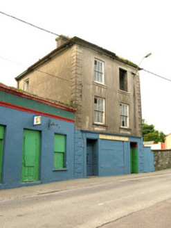 The Silver Dollar BarHouse · 1194 yd
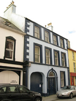 Even TideHouse · 1292 ydSarah Walker GalleryGallery · 1350 ydBerehaven Battalion MemorialMemorial · 1441 yd
 Dinish IslandIslet · 1.2 mi
 Teernahillane RingfortArchaeological place · 1.4 mi
 Dunboy CastleCastle · 1.4 mi
 Castle (in Ruins)Castle, tower house · 1.4 mi
 Siege of DunboySiege · 1.5 mi
 Miskish MountainMountain / peak · 1.7 mi
 Eagle HillMountain / peak · 1.8 mi
More archaeology and monuments in County Cork · All of County Cork
What do you know about this place?