What is recorded here
Maunvough holds one rectangular standing stone at the SW corner of a children's burial ground, facing north-south above the Owennashingaun valley. A second stone stood four metres west until removed in the 1960s, leaving the first to mark that lost edge alone. The valley drops away beneath a NW-facing hillslope, where pasture grass grows around a place set apart for the smallest dead.
In pasture, on a break on a NW-facing hillslope overlooking the valley of the Owennashingaun River. This standing stone (1m x 0.4m; H 0.65m) is rectangular in plan and is orientated N-S. It is situated at the SW corner of a children's burial ground (CO119-103001-). A possible standing stone (CO119-103----), which was removed in the 1960s, was located c. 4m to the W.
The above description is derived from 'The Archaeological Inventory of County Cork. Volume 5' (Dublin: Stationery Office, 2009).
Date of upload: 22 December 2009
Probably dating to the Late Neolithic or Bronze Age, this standing stone may have had a ritual or territorial function. Its orientation and location on a prominent hillside suggest it could have been part of a wider landscape of ceremonial or waymarking features.
The monument record does not grant public access. Check the route and ask the landowner before entering private land.
- What survives
- Recorded monument
Places near here
 Francis O'Neill PlaqueMemorial · 758 yd
 CaherEnclosure · 918 yd
 Fulacht FianFulacht fia · 1188 yd
 Trawlebane WalkWalking route · 1.1 mi
 Baugorm Castle (Site of)Castle, unclassified · 1.1 mi
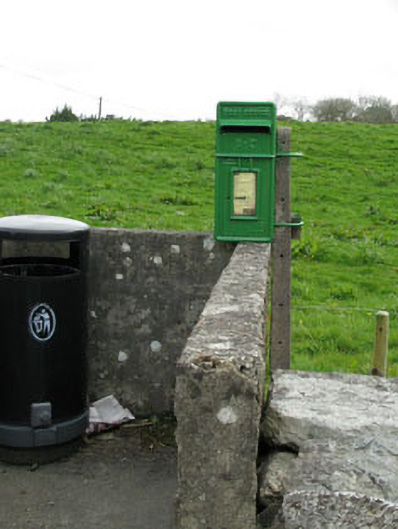 post boxpost box · 1.2 mi
 farm housefarm house · 1.2 mi
 Seskin ViewViewpoint · 3.0 mi
 Scart Castle (Site of)Castle, unclassified · 3.1 mi
 Graveyard in TownlotsGraveyard · 3.2 mi
 Tourist OfficeVisitor information · 3.3 mi
 Mullach MéiseMountain / peak · 3.6 mi