What is recorded here
One and a half metres of stone marked the southwest corner of a children's burial ground above the Owennashinguan River. Nobody recorded whose hammer broke it or whose cart carried the pieces away in the mid-1960s. The pasture keeps that absence plain: a little boy's shadow, a mother's warning, a neighbour's pride in owning the hill, or merely room for more grass. What is certain is that the angle where it stood still cuts the meadow, and the valley below still drops out of sight.
In pasture, on a break on a NW-facing hillslope, overlooking the valley of the Owennashinguan River. According to local information, this possible standing stone (H 1.3m), which originally stood immediately outside the SW corner of a children's burial ground (KE119-103001-), was broken into pieces and removed in the mid-1960s. There is no visible trace of this possible standing stone.
The above description is derived from 'The Archaeological Inventory of County Cork. Volume 5' (Dublin: Stationery Office, 2009).
Date of upload: 22 December 2009
This remains an important historical record, but the official description says the monument is no longer visible or has been destroyed. The monument record does not grant public access. Check the route and ask the landowner before entering private land.
- What survives
- No visible remains or recorded as destroyed
Places near here
 Francis O'Neill PlaqueMemorial · 758 yd
 CaherEnclosure · 917 yd
 Fulacht FianFulacht fia · 1190 yd
 Trawlebane WalkWalking route · 1.0 mi
 Baugorm Castle (Site of)Castle, unclassified · 1.1 mi
 farm housefarm house · 1.2 mi
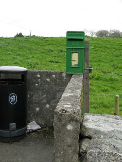 post boxpost box · 1.2 mi
 Seskin ViewViewpoint · 3.0 mi
 Scart Castle (Site of)Castle, unclassified · 3.1 mi
 Graveyard in TownlotsGraveyard · 3.2 mi
 Tourist OfficeVisitor information · 3.3 mi
 Mullach MéiseMountain / peak · 3.6 mi